Pacific Crest Trail Section Hike: Southern Terminus to Warner Springs California
A walk to the barbed wire wall that separates the US and Mexico, a reservoir in the desert, a high alpine mountain town 30 miles east of San Diego, the pie capital of the USA, the largest state park in California, an award winning French Chef treating hikers to his Parisian cuisines, and a LOT of cacti and lizards. This section of the Pacific Crest Trail (PCT) runs begins in Campo California and runs through Lake Morena, Mount Laguna, Anza Borrego Desert State Park, near Julian California, and finishes in the tiny trail town of Warner Springs. In this article I share a 109 mile section hike of the trail that runs through this region of California. I slowly section hiked the bottom 375 miles of the Pacific Crest Trail (PCT for short) that is 2,650 miles in total. In this series we are covering each section I hike and hopefully providing tips and insights into how you can spend an afternoon to a few days at a time on this trail that stretches from Mexico to Canada! Or for several months as a thru-hiker!
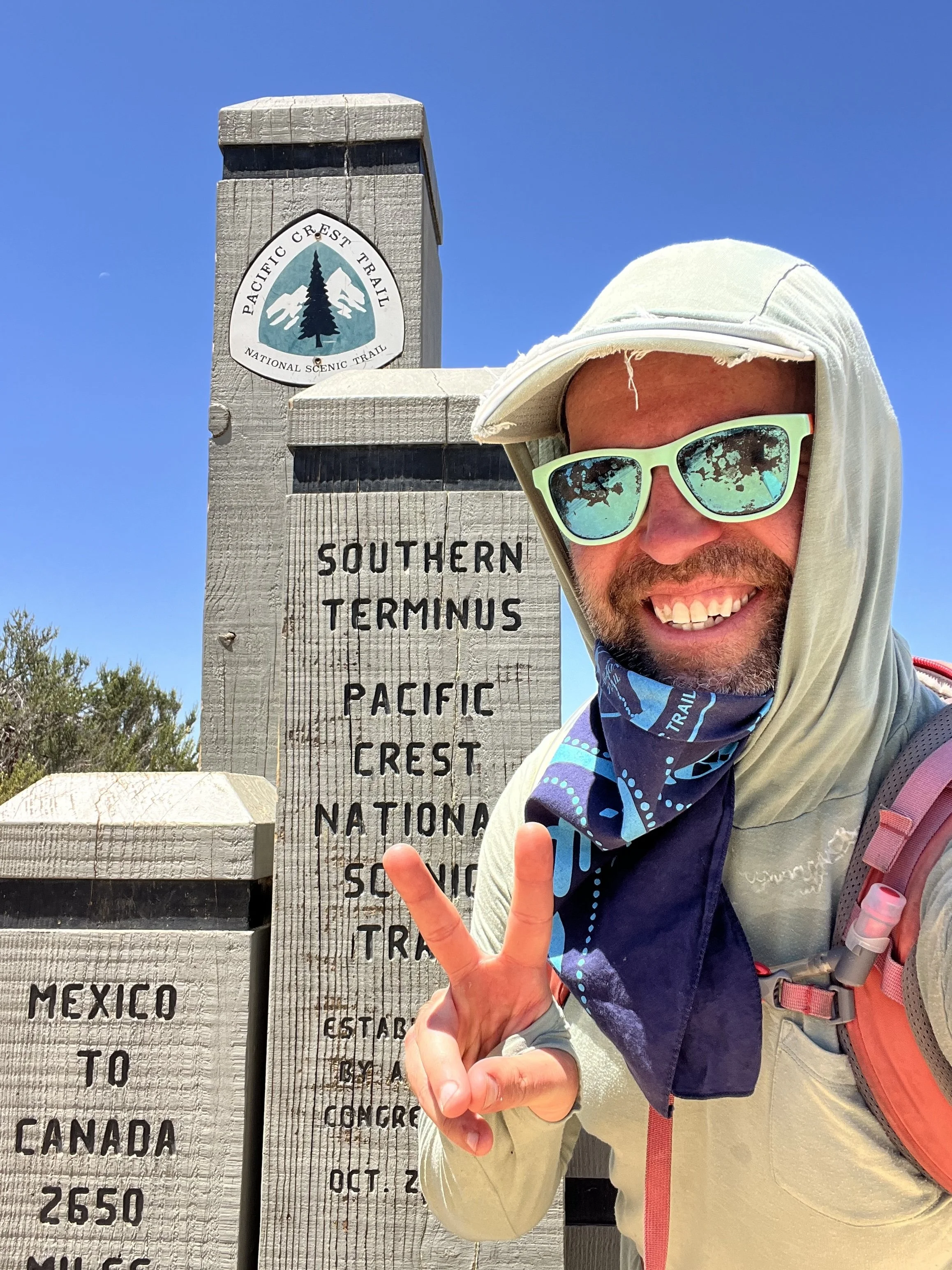
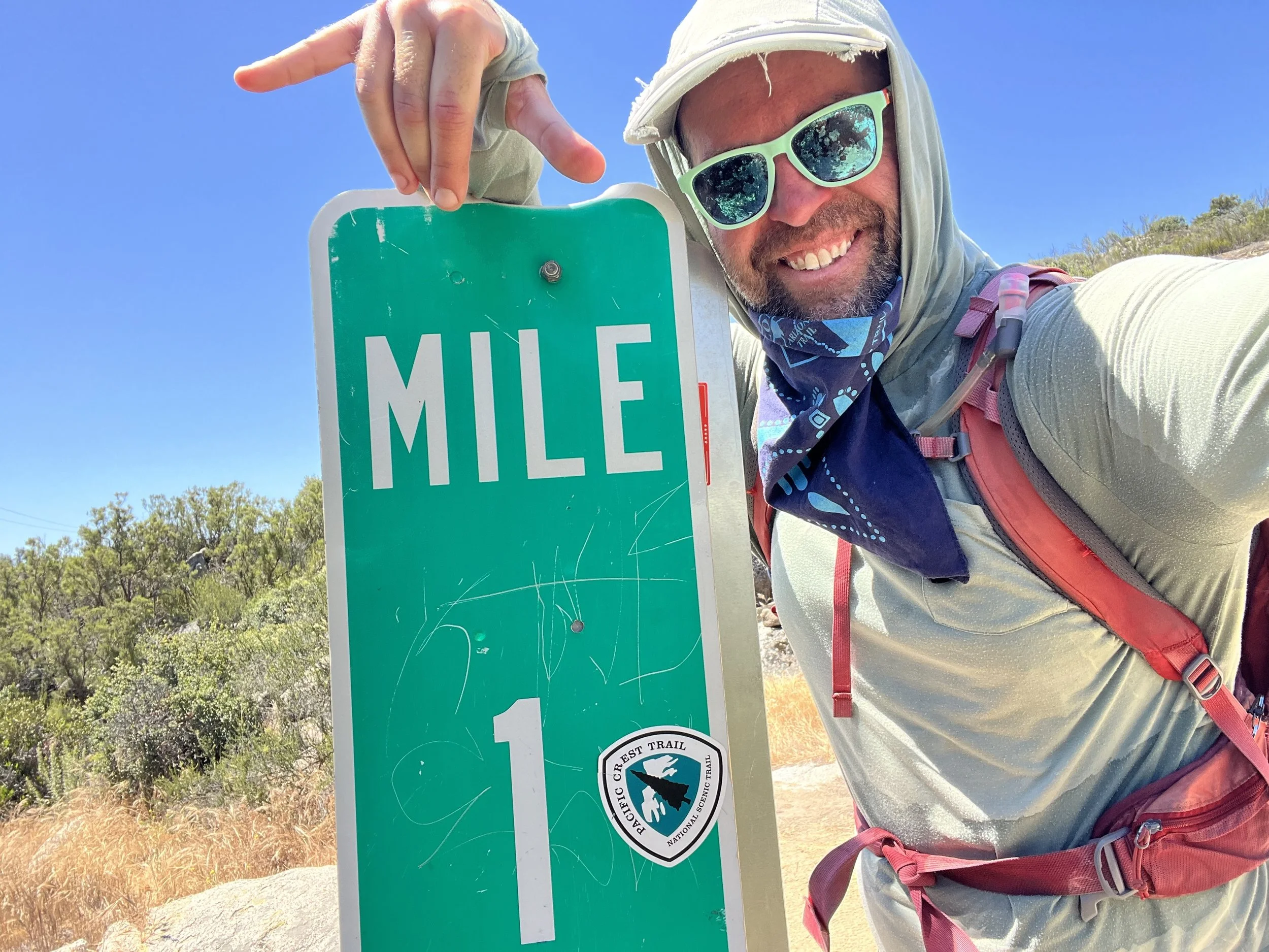
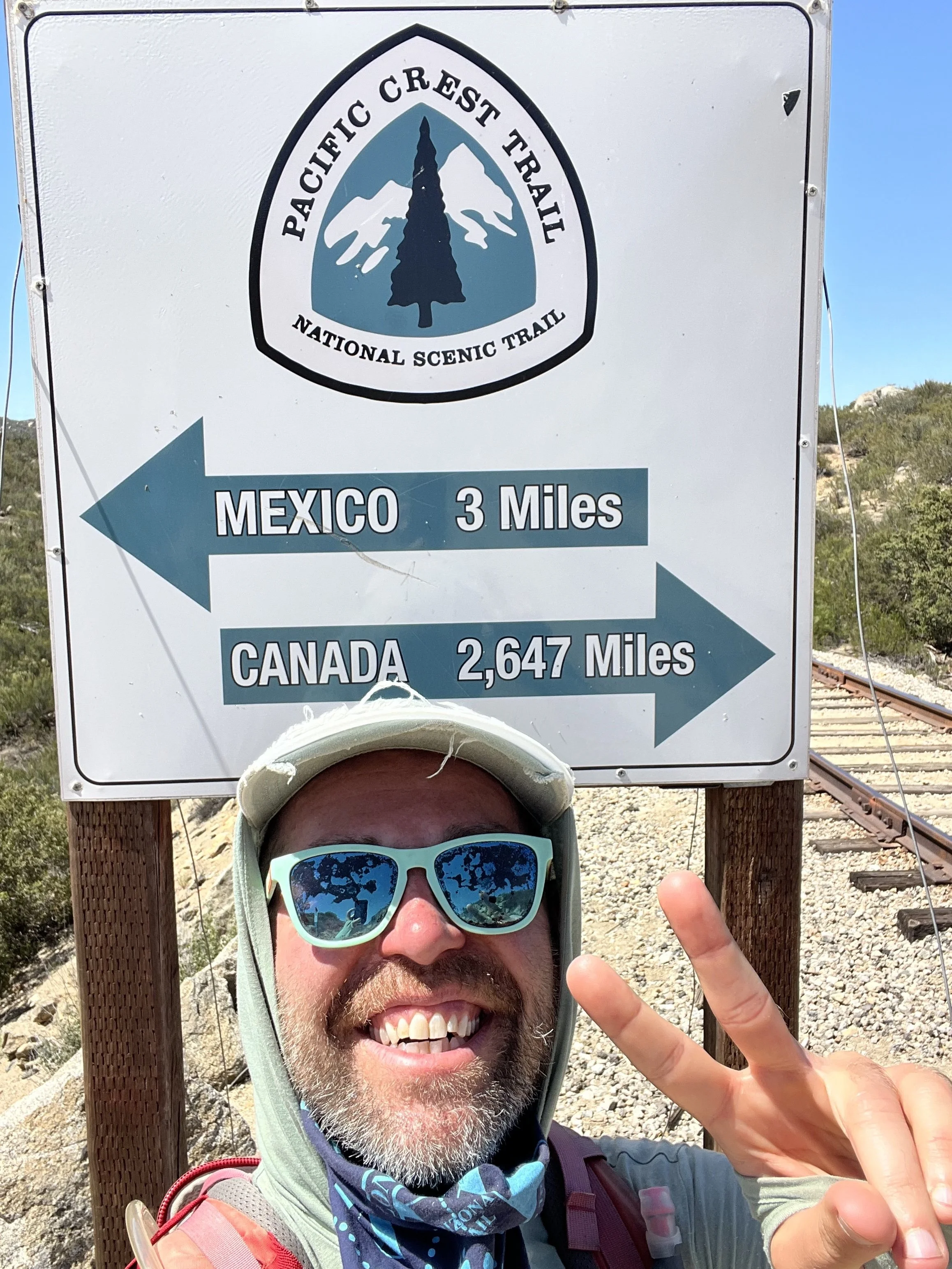
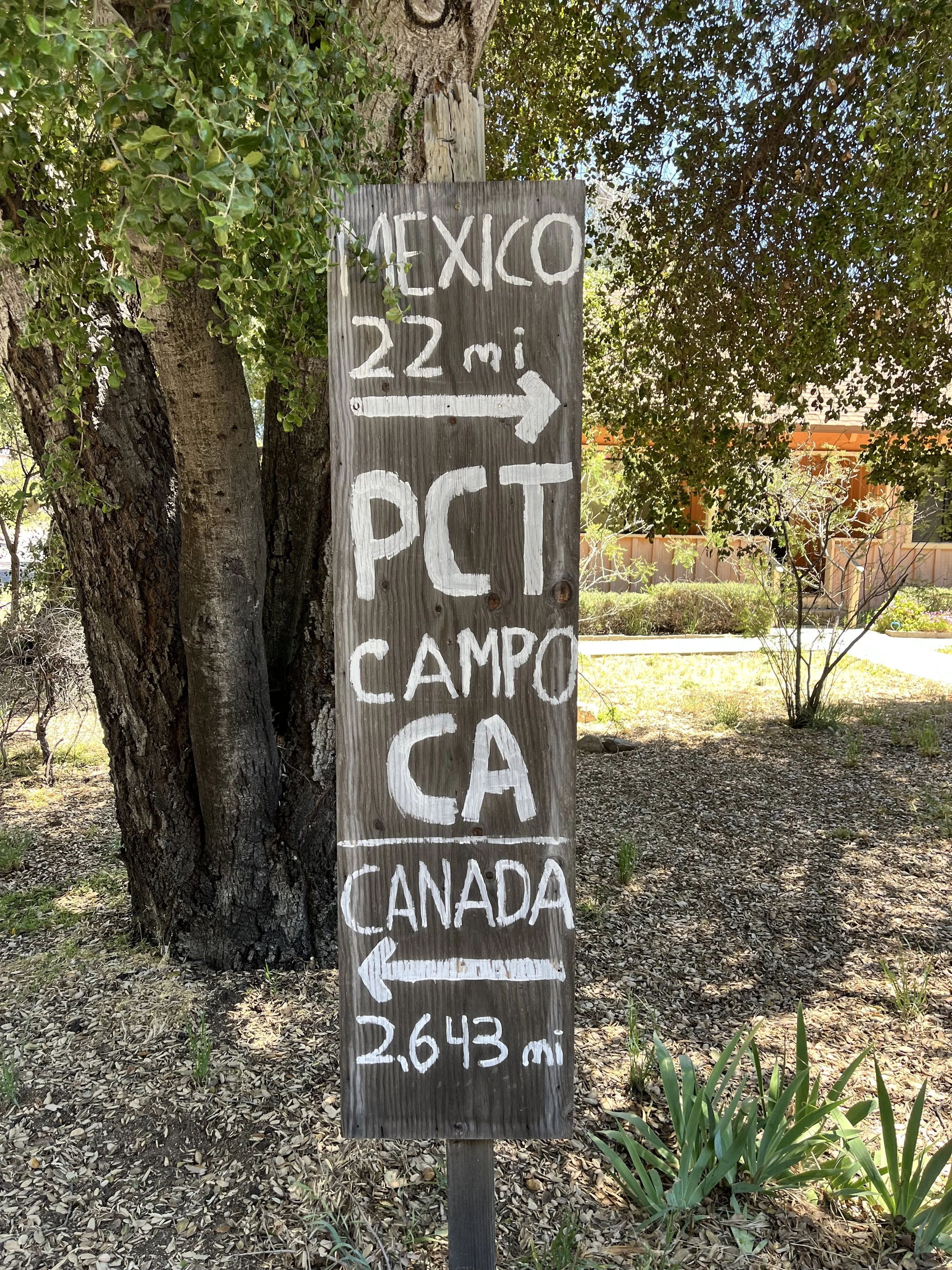
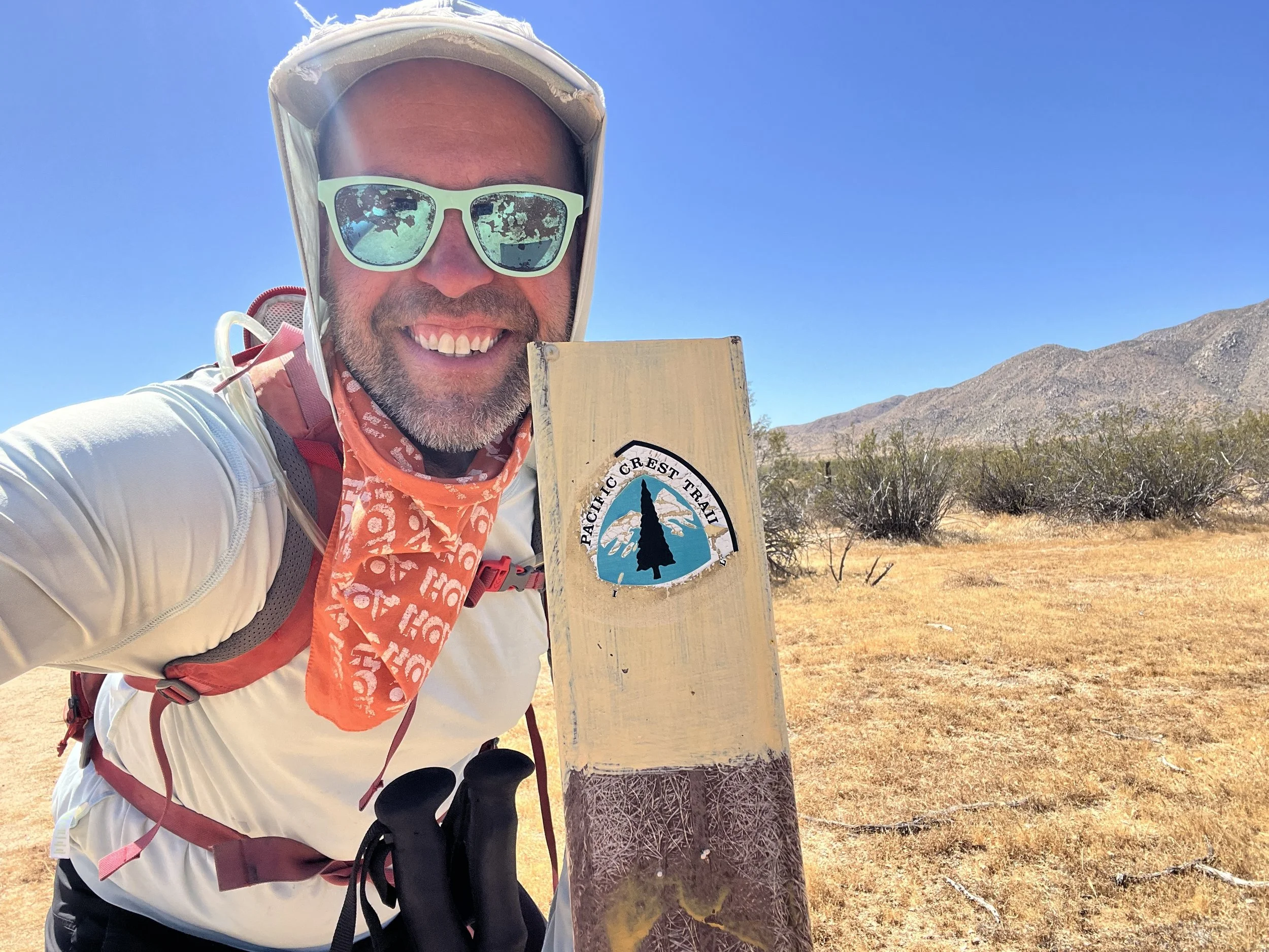
IF HEADING NOBO (NORTHBOUND) ON THE PACIFIC CREST TRAIL FROM THE Southern Terminus of the pct WE BEGIN THIS SECTION AT MILE ZERO! THIS 109 MILE STRETCH IS WHAT I COVERED IN Seven DAYS AS OUT AND BACK DAY HIKES AND POINT TO POINT HIKES. You can get dropped off by a bus from san diego to campo and trail angel mailman bob will drop you at the terminus or it’s an easy walk. if you’re coming with someone who will be leaving the dirt road leading up to it is easily passable for all vehicles. THE TOWNS/Parks of lake morena, mount laguna, and julian ARE ALL GOOD REFUEL AND RESUPPLY STOPS. THIS SECTION HIKE ENDS NEAR THE TRAIL TOWN OF warner springs, WHICH IS LOCATED AT ABOUT NOBO MILE 109.5 ON THE PCT.
Southern Terminus to Warner Springs Need to Know’s:
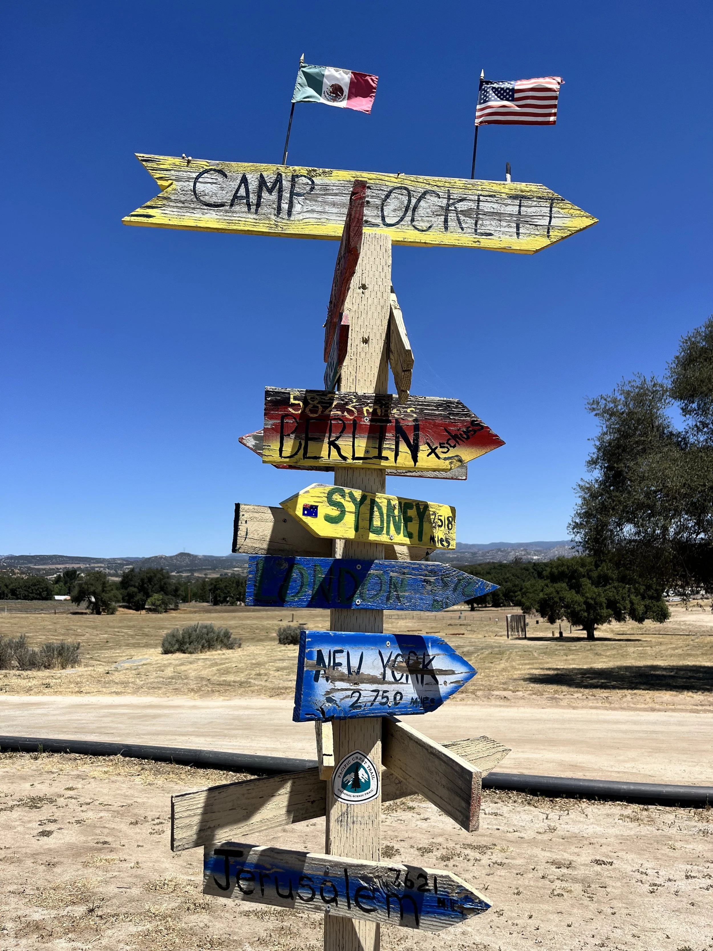
Camp Lockett Equestrian Facility has a nice setup for a late afternoon arrival and a place to sleep. It’s located just down the hill from the Southern Terminus.
The tradition of sticking your foot and hand through the wall to touch Mexico has been ever changing. Stay up to date via the PCTA.org.
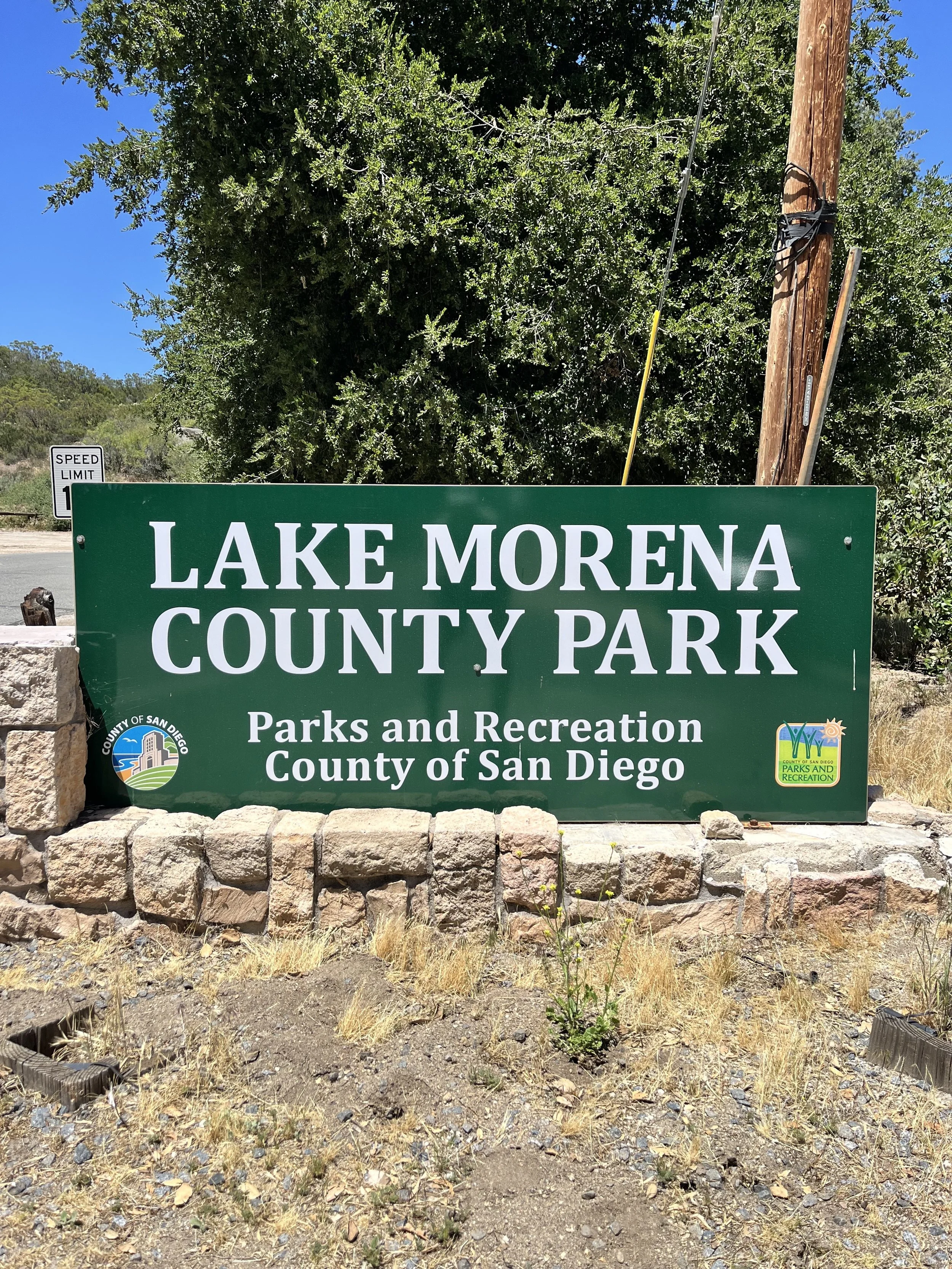
There’s a PCT Campground at Lake Morena (Mile marker 20).
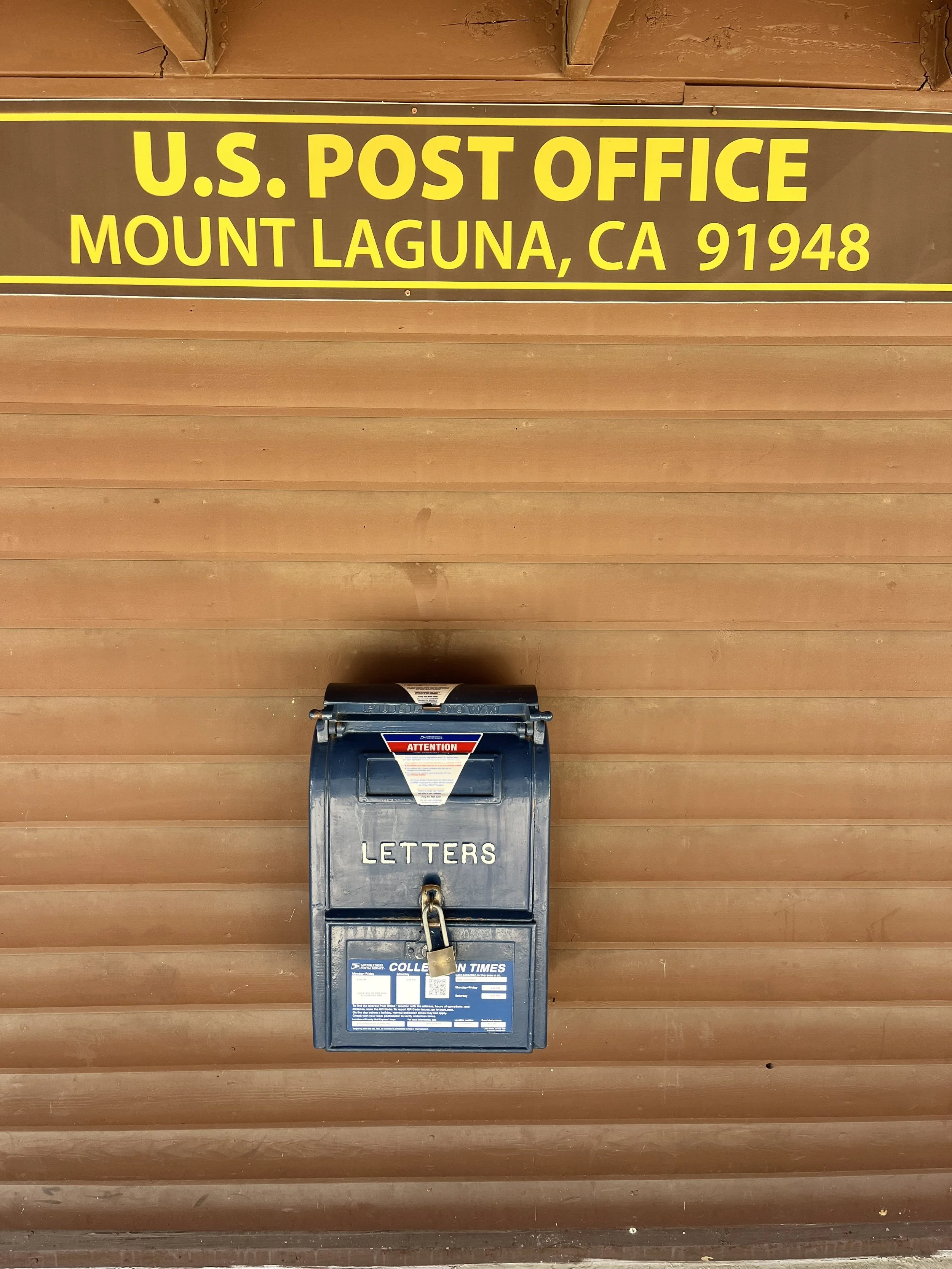
You can’t disperse camp in the Mount Laguna Recreation Area. You’ll need to stop before, after, or pay for one of their front country campgrounds.
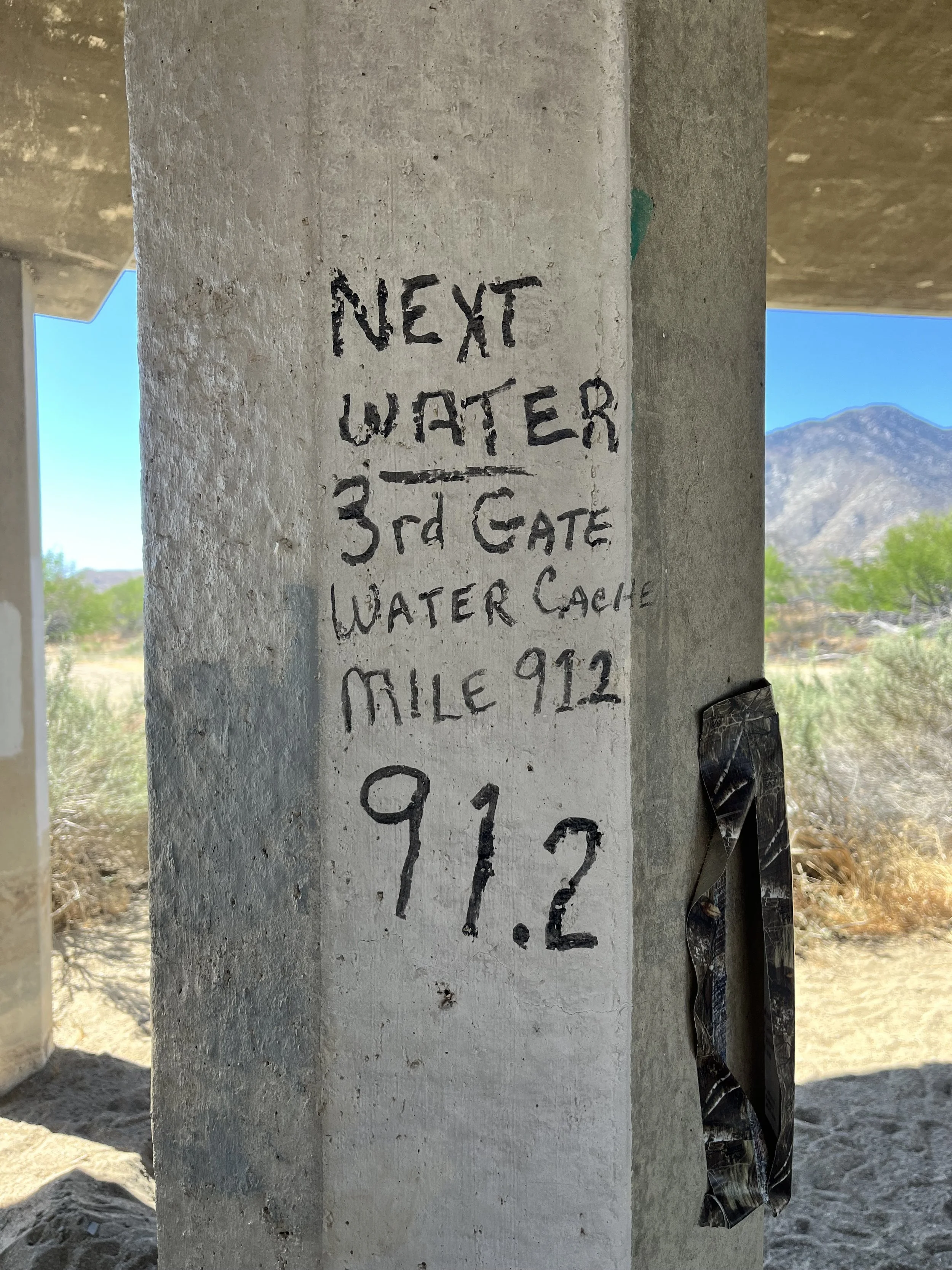
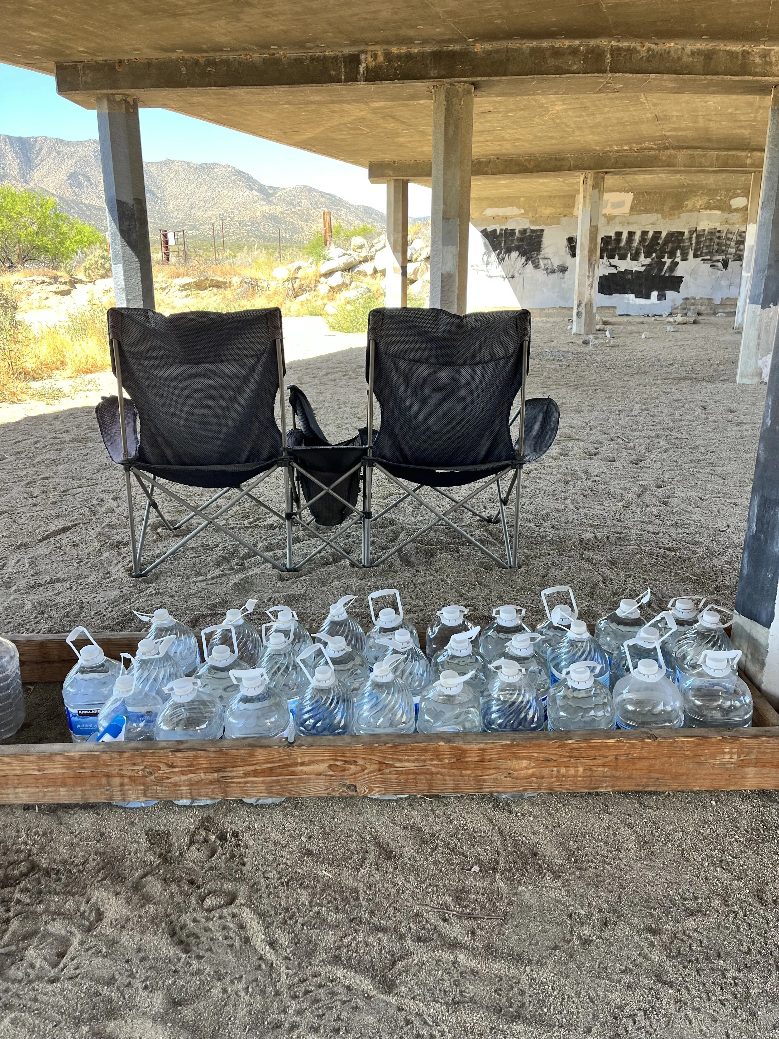
There are trail angels abound at Scissors Crossing to take you into the town of Julian (Mile Marker 77.) There’s also a water cache there.
You can access Julian as well from the Sunrise Trailhead in Anza Borrego Desert State Park if you need to run into town then too.
Leaving a vehicle at the Southern Terminus is not recommended. I parked on Highway 94 (recommended) across the street from the Campo Green Store and Deli.
This area can get really cold/snowy in the winter and super hot as well. I have gone to Julian and Mount Laguna as a desert repreive and then also hiked through Anza Borrego in triple digits just two weeks later. I met hikers who got a whooping of snow in Mount Lagua at mile marker 40 and by mile marker 77 two days later we were hiking in 104F heat! Be prepared for the shifts!
WHAT GEAR DO I USE AND LIKE THE MOST ON MY PCT SECTION HIKES?
Hoka One Kaha’s and Hoka Two GTX’s are my trusted shoes.
I use my REI 40 Liter Backpack.
Darn Tough Vermont and Merino Wool Socks from REI and SmartWool are my go to’s.
Osprey Water Bladder and Lifestraw Collapsible Filter for hydration.
I wear New Balance or Nike running shorts and much prefer that to more typical hiking shorts.
The PCTA and PCT Water Reports in addition to the Half Mile Maps and Trail Notes are outstanding resources (and could save your life…!)
I carry a Garmin GPS and if I were to thru hike I would use the Farout (used to be Guthook) App as well.
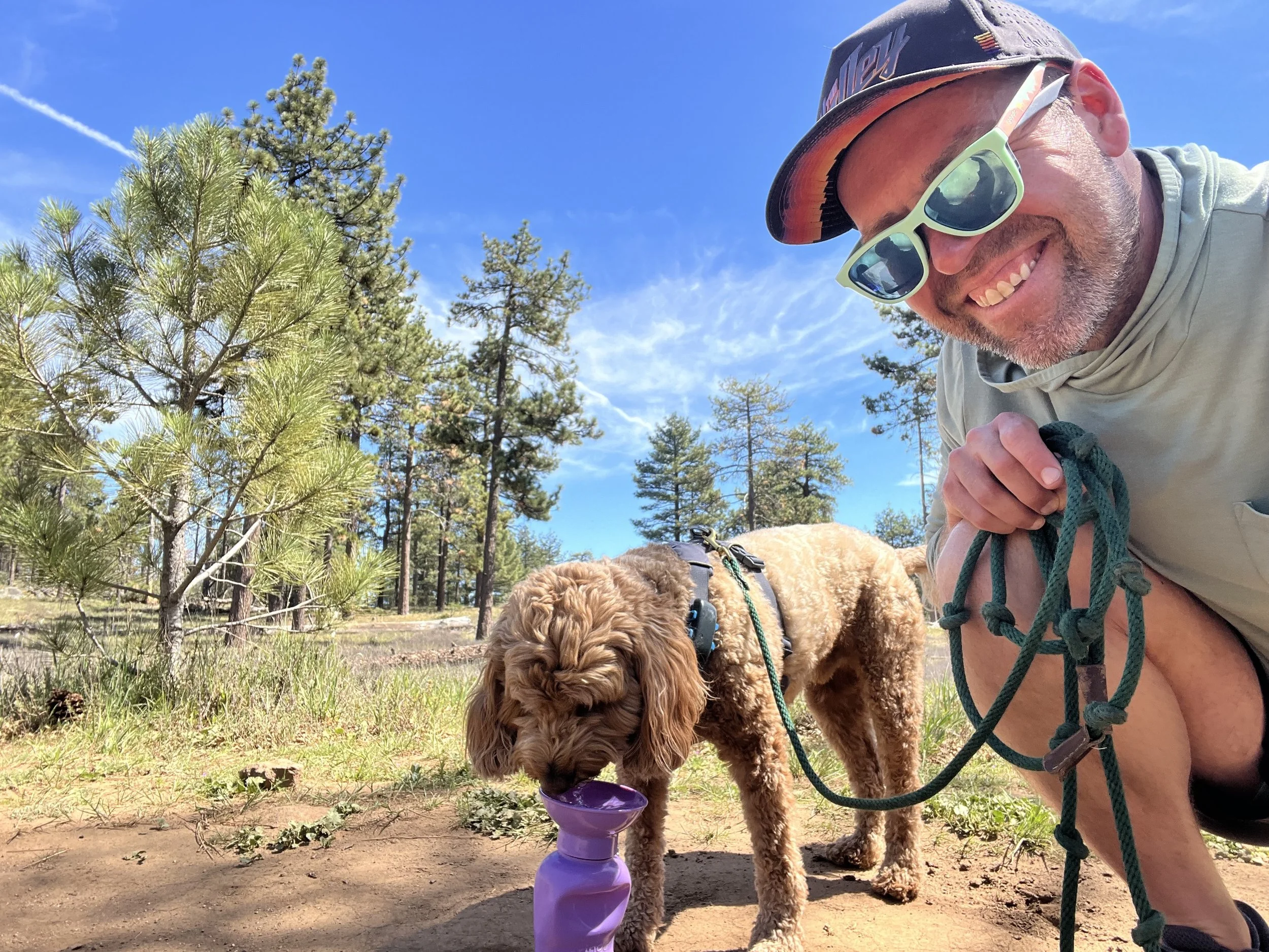
Water break on the PCT in Mount Laguna!
What else happened that was memorable during this section hike?
Going to the Southern Terminus, seeing the wall, experiencing the wall, and seeing border patrol was a sad and emotional multi layered experience with multiple truths hiding beneath it.
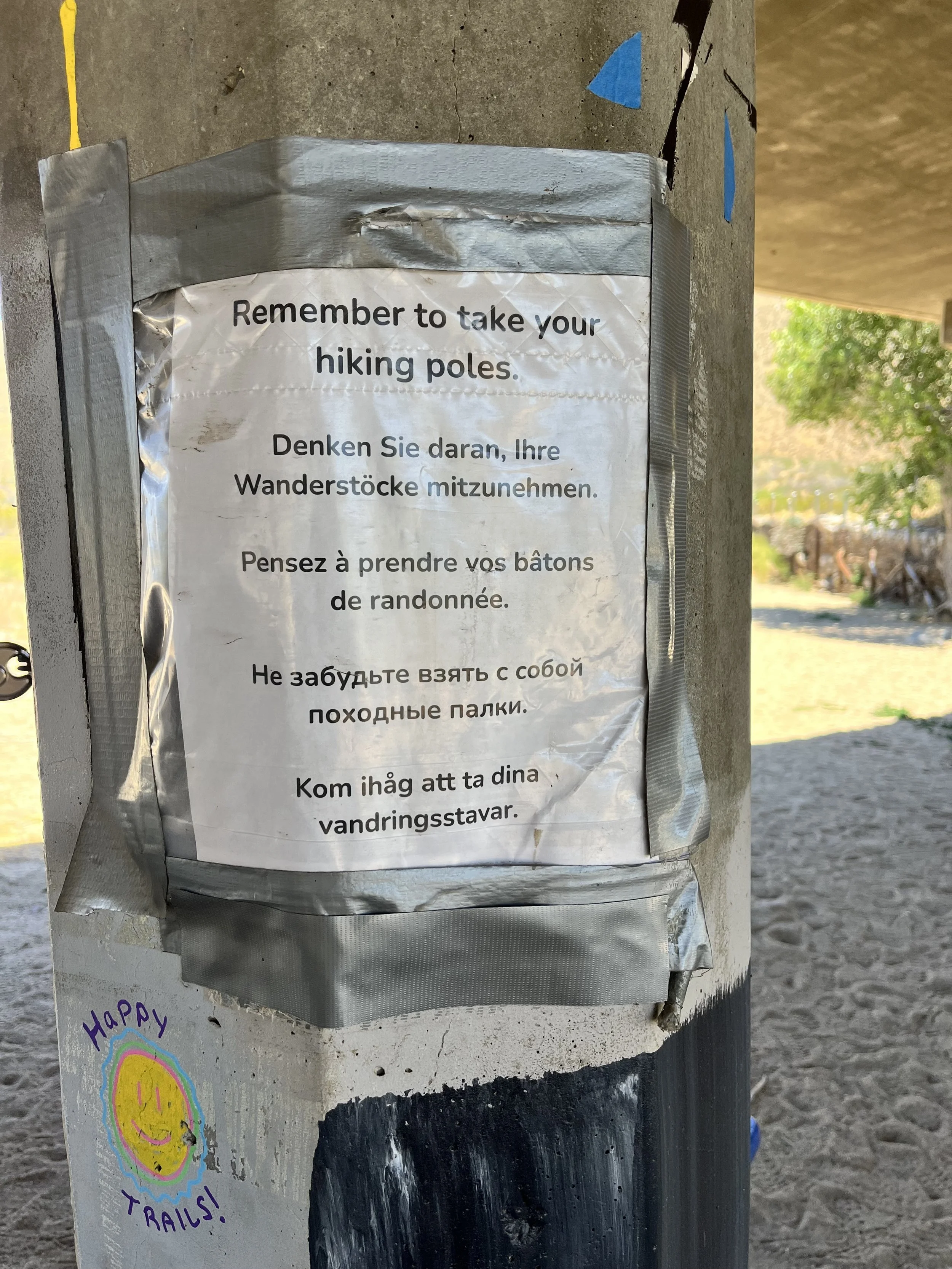
I almost lost my hiking poles in Lake Morena and the thru-hikers lounging at the Malt Shop got a good laugh out of it!
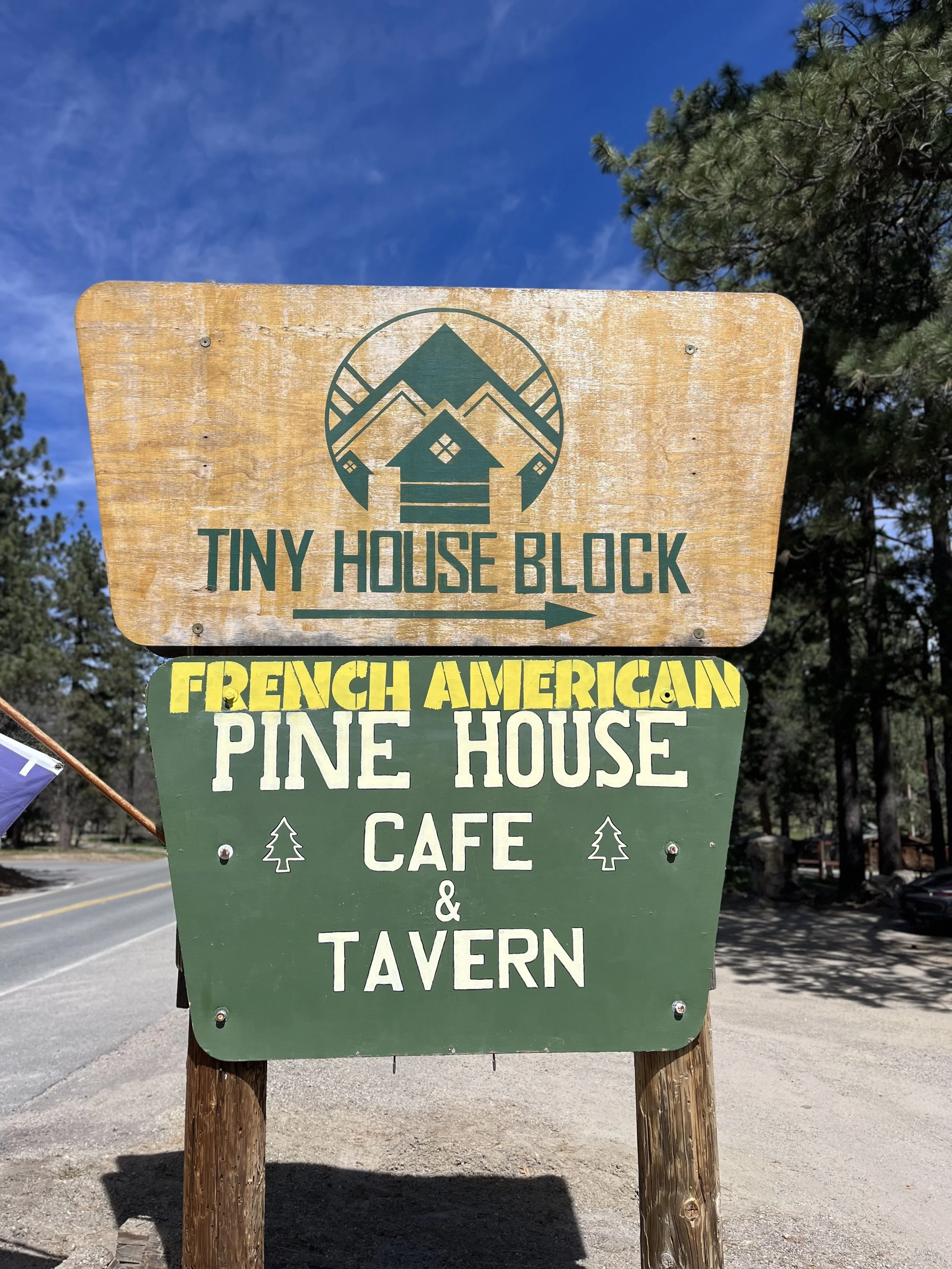
The Pinehouse Tavern in Mount Laguna is EXCELLENT French cuisine from a family from Paris. I go every day I am hanging in Mount Laguna. The Tiny House Block has a section set aside for dorm style sleeping for thru-hikers.
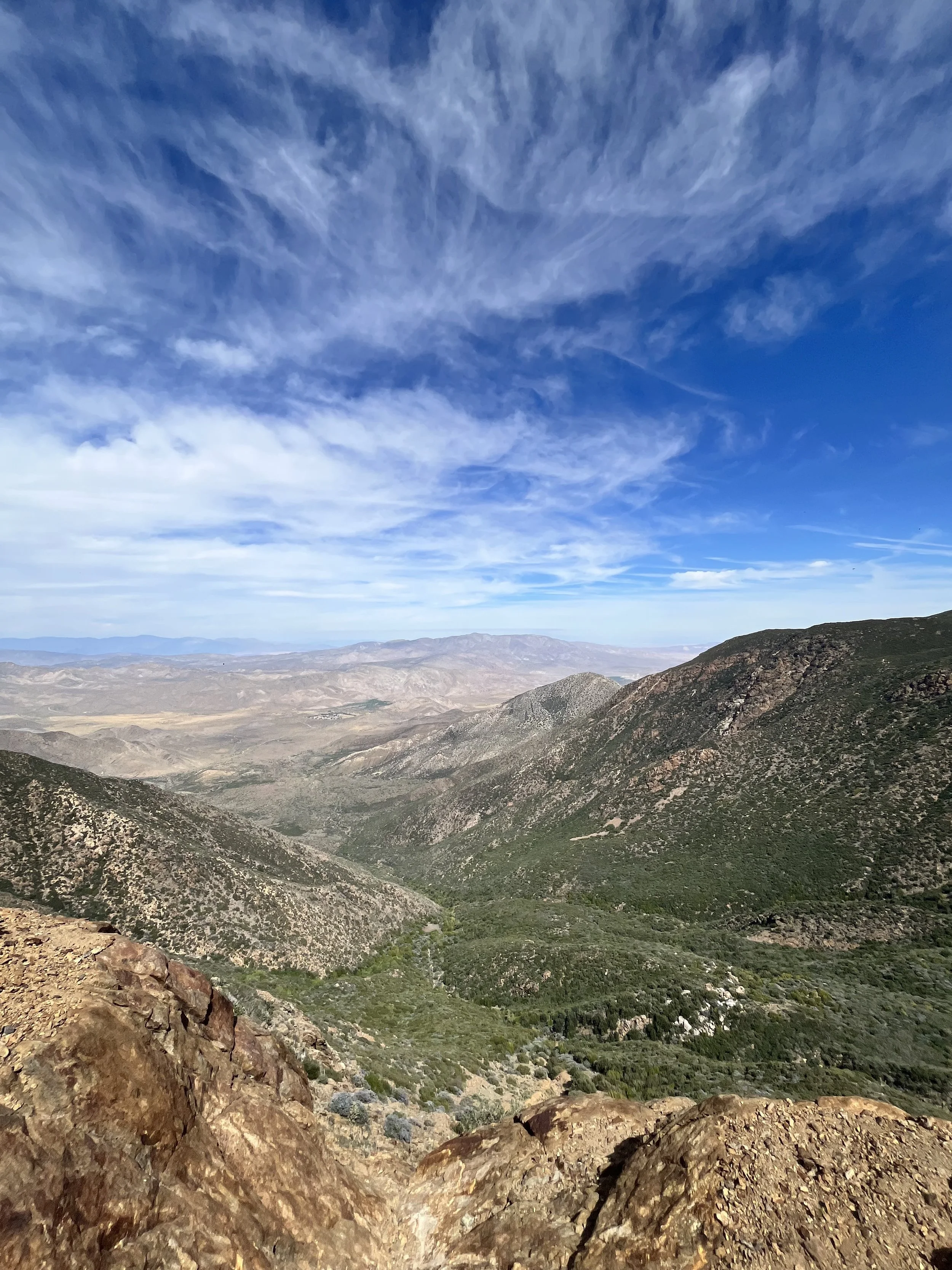
Anza Borrego is BIG, HOT, OPEN, or it’s BIG, COLD, and OPEN. What a wildly neat desert.
I was firmly in the NOBO 2026 thru-hiking bubble for this portion of the trail and it was fun to be seeing everyone on their first day to first week on the trail. The excitement is real and the pain hasn’t happened yet.
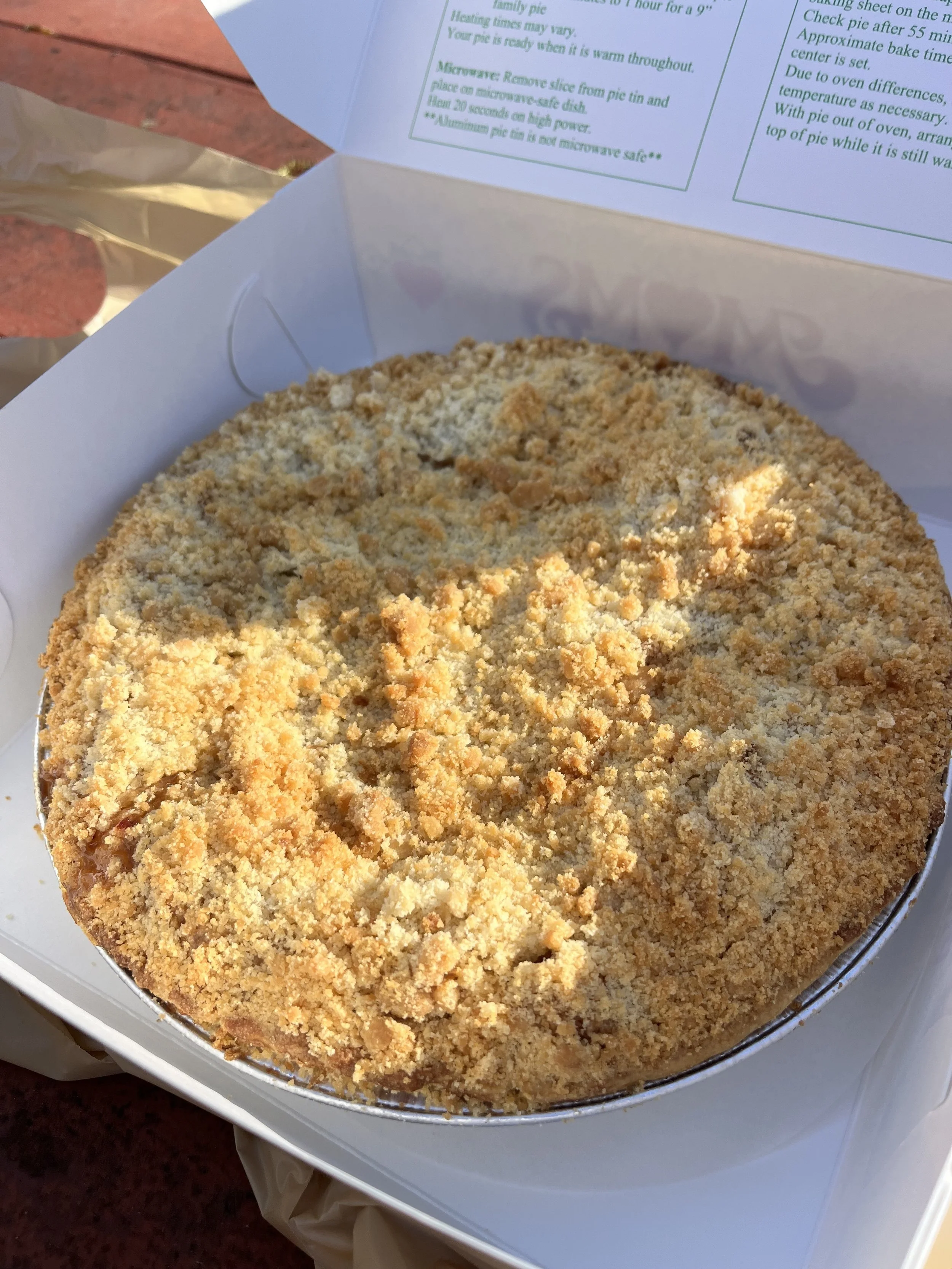
Cotopaxi loved hiking the Mount Laguna Section and my partner Jill and I LOVED eating pies in Julian. It’s kinda what they do :).
This was my last section of a multi year LASH (Long Ass Section Hike) that took me on over 1,300 miles of the AT, the entire AZT, and several other trails that resulted in over 2,850 miles in total. This felt like a fitting section to finish the dance!
This section had perhaps the most surreal and emotionally charging experiences of any section I have done on the PCT. I hiked SOBO from Highway 94 (mile marker 2.3) to the Southern Terminus. I wanted to arrive on foot. My first glimpse of the wall gave me a sadness of the failed ways of the human species. Then the beauty of watching the thru-hikers headed to Canada on their first moments on trail. Enjoying French food like I was in a small family’s home in the French countryside. To my finishing a 2,800 miles plus section of several different US National Scenic and Recreation Trails. It was all just one for the emotional ages.
Maybe you’ll be in a different situation when arriving here or feel differently when you see the barbed wire on a wall working to keep desperate people out of the country you were born in. Or maybe the perfection of a French croissant in the ONLY restaurant in a town will hit you a smidge different. Or maybe you’ll be one of these thru-hikers and you will be wrapped up in your own energy and won’t be noticing that of the other hikers. Only time will tell. But this is why we hike these trails. To get into nature, to get stirred up with different ways of being and thinking, and to live life more in the way in which you hope others can.
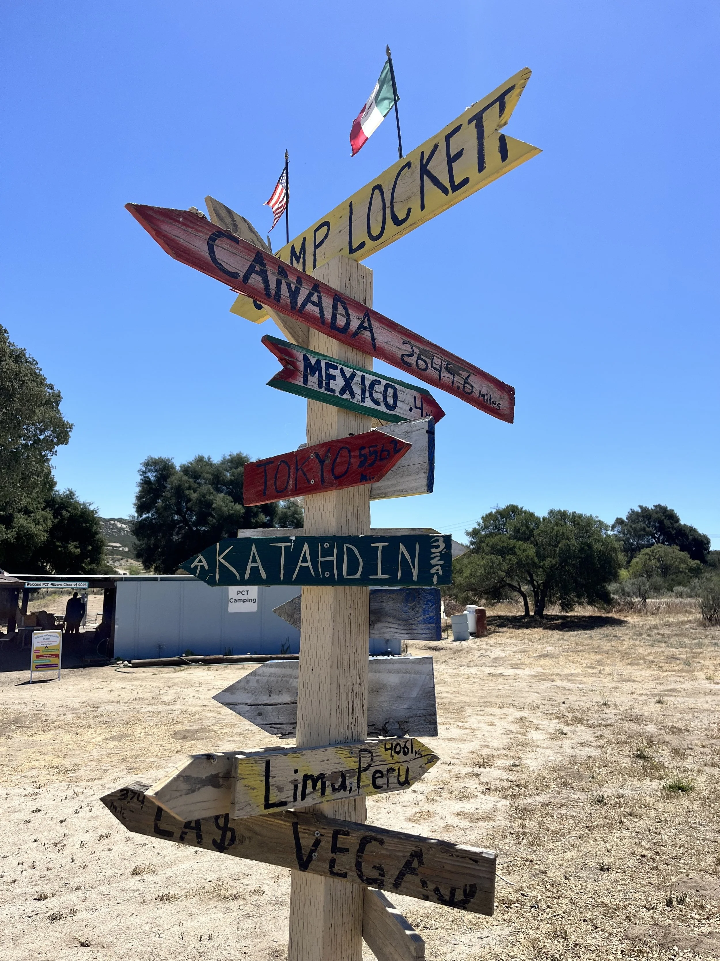
I always say you come to these trails and they give you what you need. They aren’t a cure for anything but they are healing all the same. The one thing I could forecast without question is that you will see “The best humanity has to offer” on the trails and that’s what brings me back to me each day. The wall on the Southern Terminus might be the antithesis of what I just said but by the time you’re at Camp Lockett just eight minutes down the road you’ll see the angels and the magic happening!
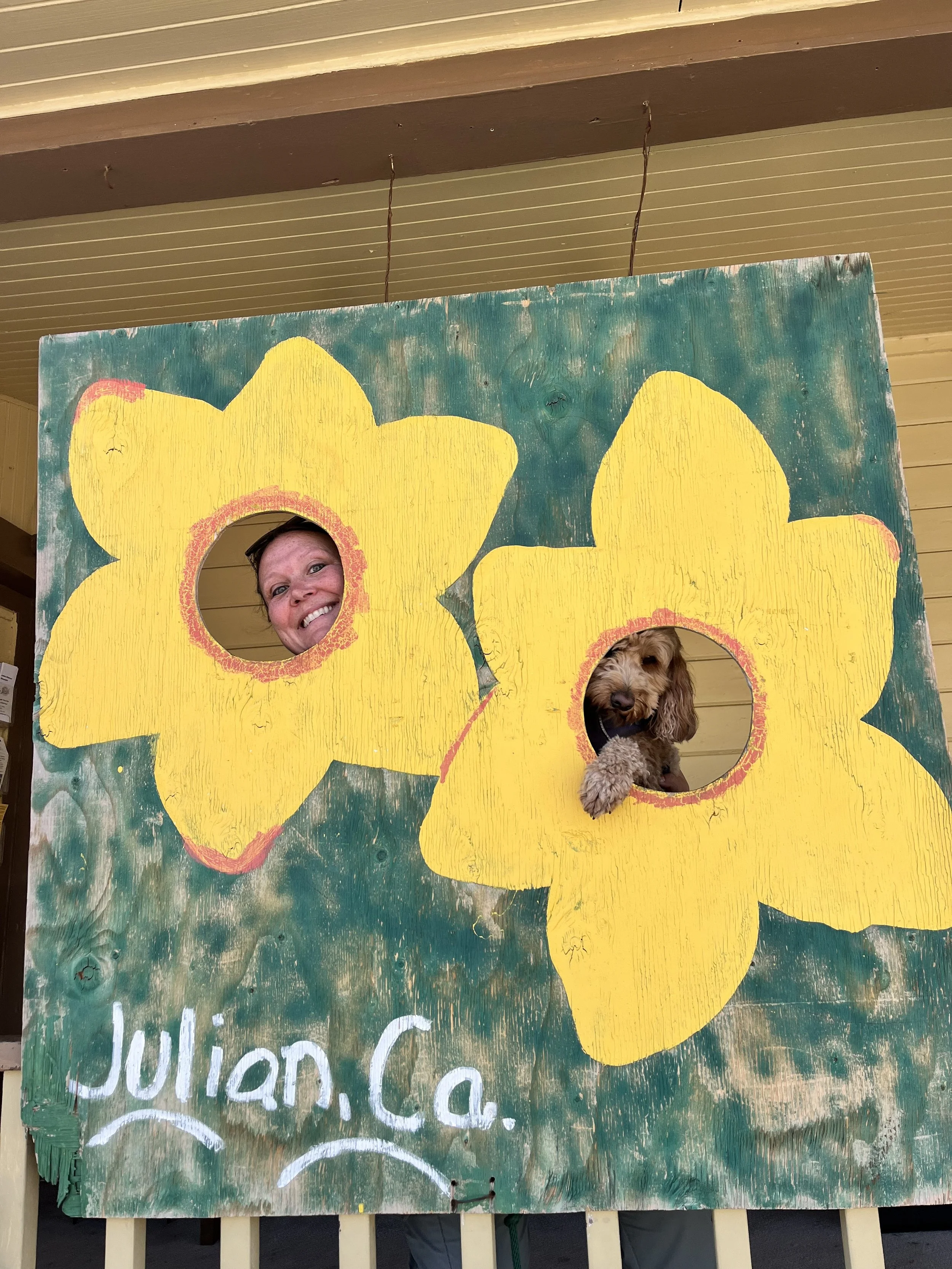
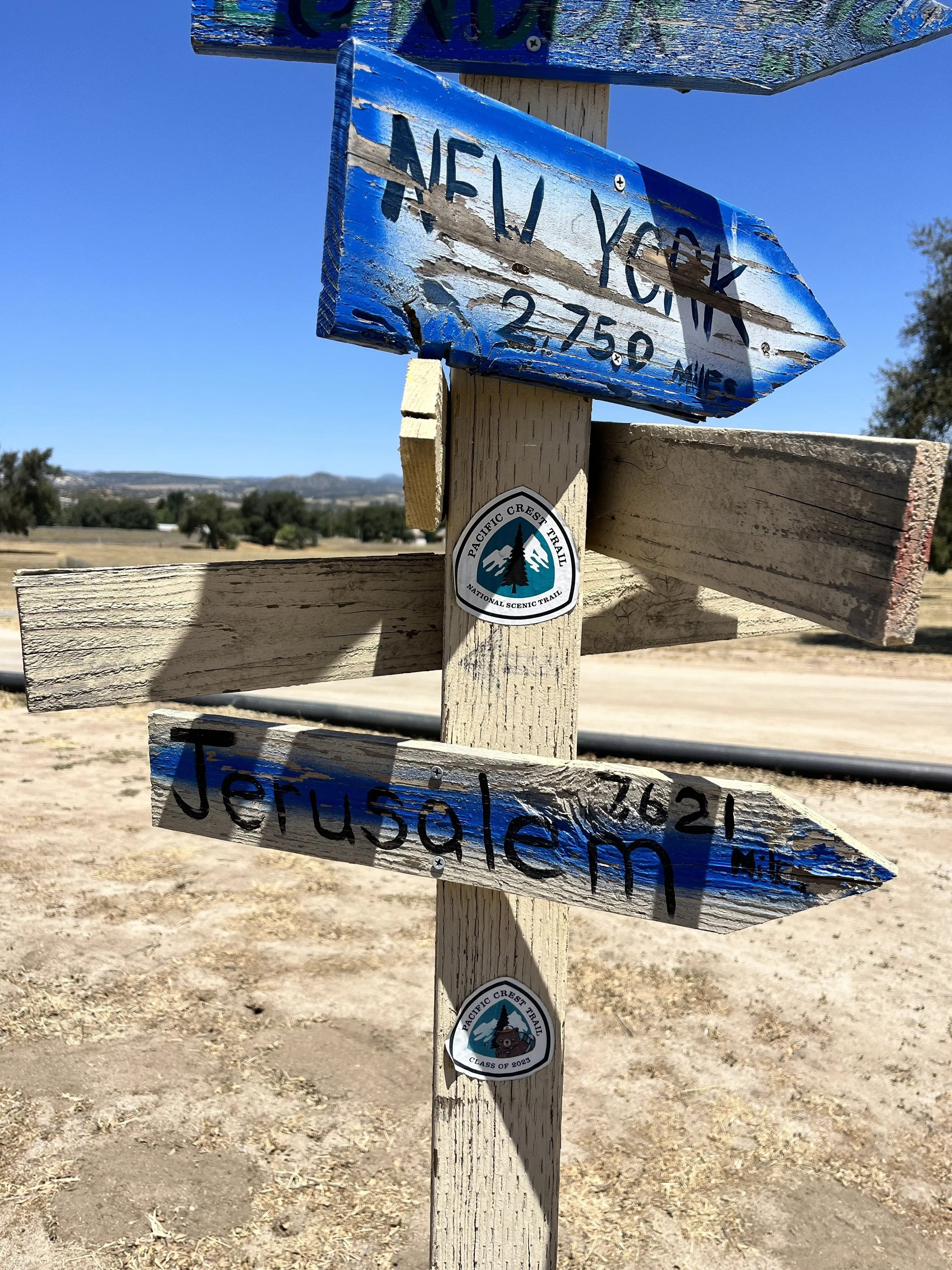
You can’t have too many cardboard cutout photo options in the trail towns if you ask us!
This 109 mile stretch was done in seven long day hikes with some out and back miles on top of it at times. Have fun, prepare, and welcome to the Southern Terminus, apple pie, and looooooong stretches of desert.
Thanks for reading and happy trails to you! Whether you are planning a thru, section, or day hike…or are a trail town local, trail angel, or just someone wanting to learn more about the Pacific Crest Trail…I hope the PCT gives you what you need! Don’t forget to Leave No Trace and pack your 10 Essentials!
Comment below with questions or your experience on hiking the PCT in the SoCal or specifically this section from Campo to Warner Springs.
Because Adventure Feeds the Soul,
Mike R
PS: Don’t miss out on apple pie, IYKYK!