Pacific Crest Trail Section Hike: Warner Springs California to Snow Creek Canyon
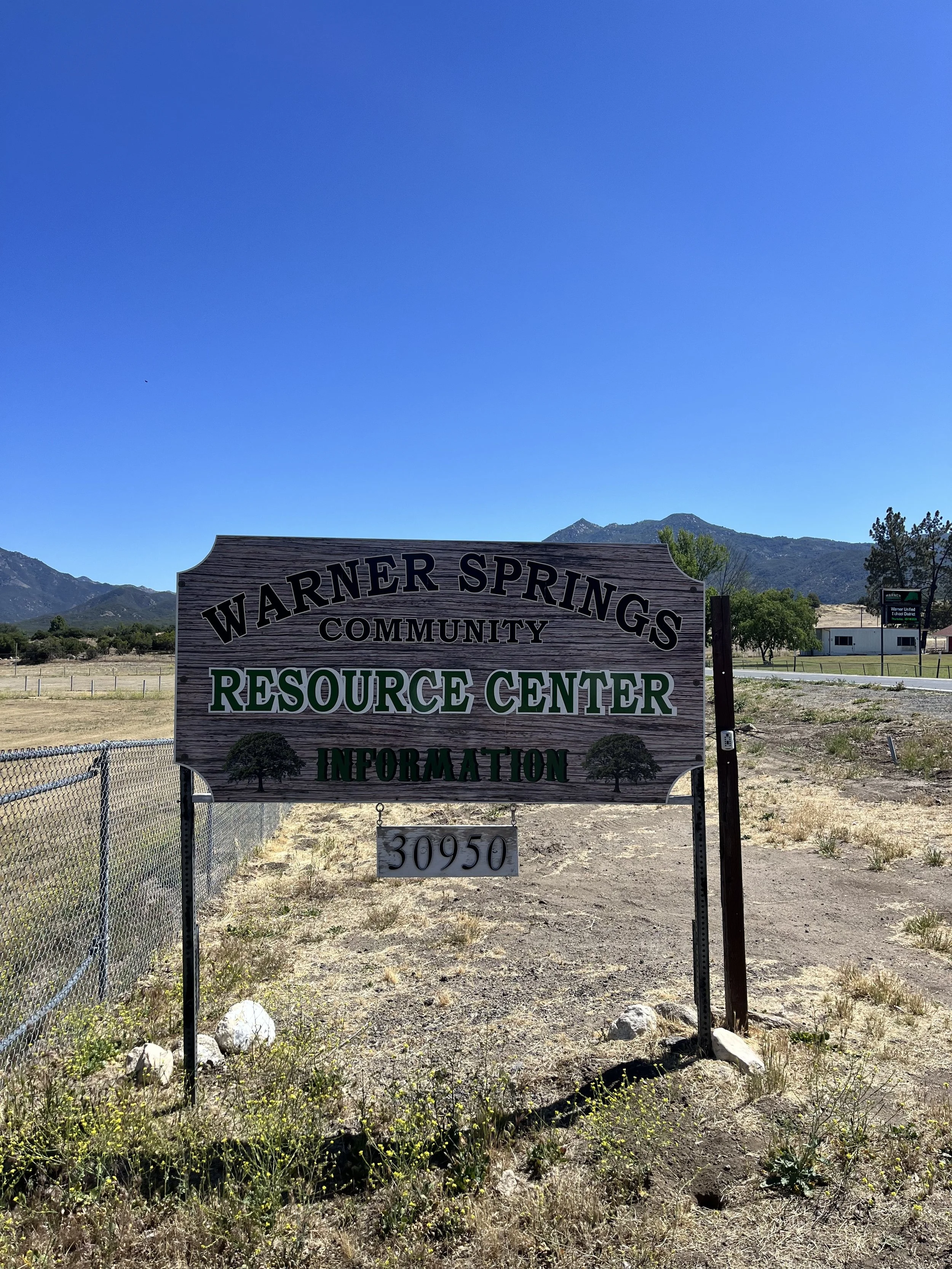
PCT Sign in front of Warner Springs Community Center, a great stop!
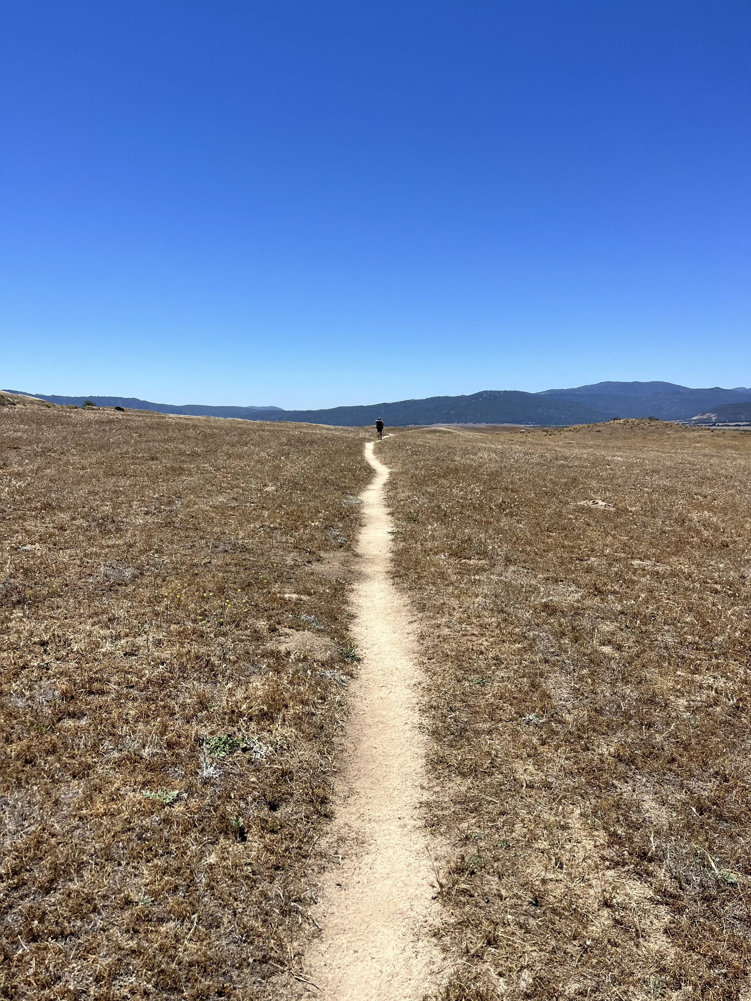
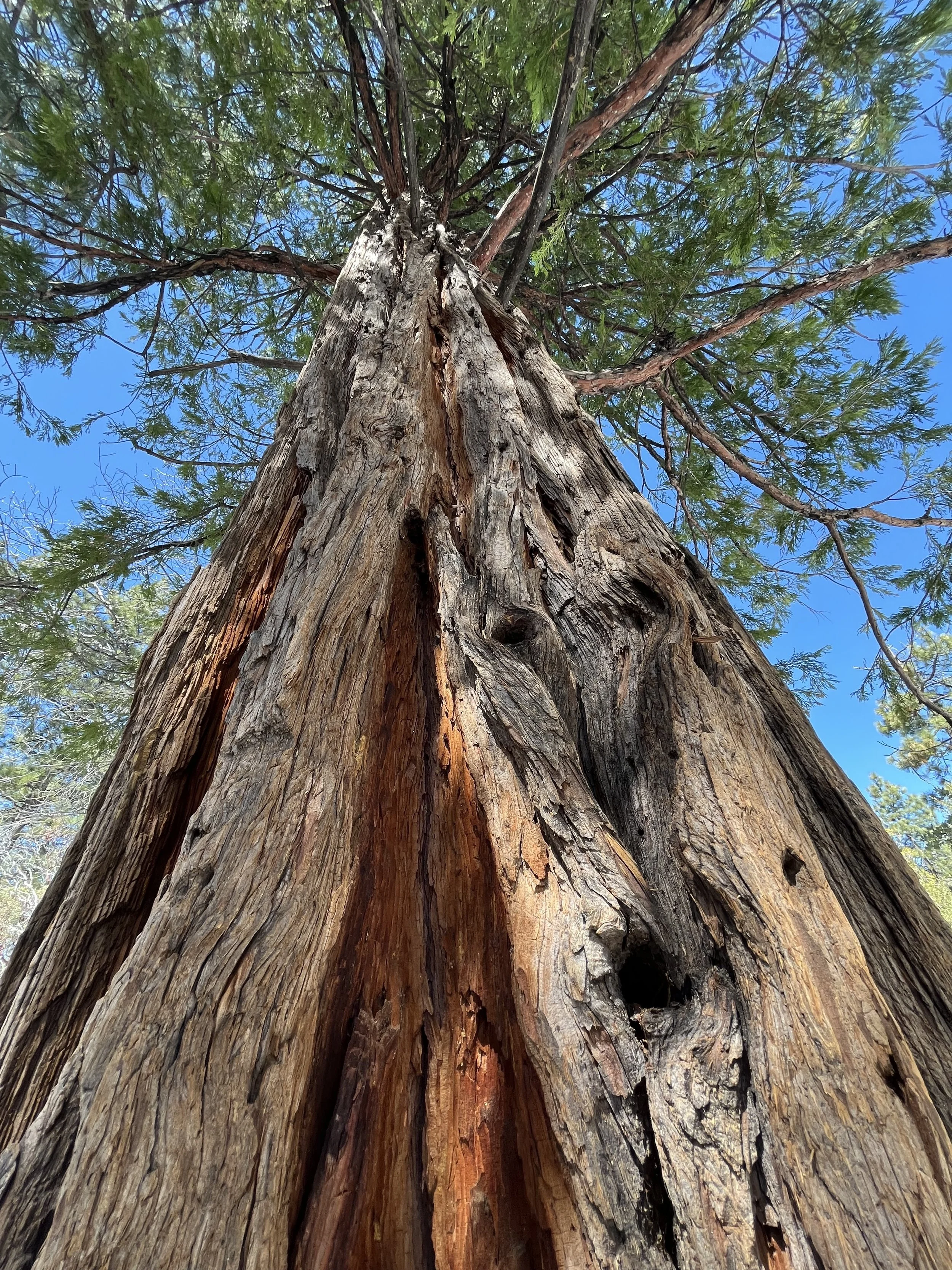
This section starts in California ranch land, heads through pure wilderness, pops you out for a burger on the highway, into the mountains and iconic trail town of Idyllwild (their mayor is a DOG!), through the incredible San Jacinto State Park Wilderness, and finally a downhill plummet to the small community of Snow Creek Canyon . This section of the Pacific Crest Trail (PCT) runs begins in the trail town of Warner Springs California and finishes at the Snow Creek Canyon road crossing near I-10. In this article I share a 97 mile section hike of the trail that runs through this region of California. I slowly section hiked the bottom 375 miles of the Pacific Crest Trail (PCT for short) that is 2,650 miles in total. In this series we are covering each section I hike and hopefully providing tips and insights into how you can spend an afternoon to a few days at a time on this trail that stretches from Mexico to Canada! Or for several months as a thru-hiker!
IF HEADING NOBO (NORTHBOUND) ON THE PACIFIC CREST TRAIL FROM Warner Springs California WE BEGIN THIS SECTION AT MILE 109.5! THIS 97 MILE STRETCH IS WHAT I COVERED IN Six DAYS AS OUT AND BACK DAY HIKES AND POINT TO POINT HIKES, plus a day for the San jacinto peak summit hike! THE TOWNS/PARKS OF Warner Springs, the Paradise valley cafe, and idyllwild ARE ALL GOOD REFUEL AND RESUPPLY STOPS. It also features a long stretch of wilderness that runs into the often debated stop at mike’s place and formerly the very popular trail anger mary’s oasis (she has since closed down due to crime on her property.) THIS SECTION HIKE ENDS NEAR THE small community OF snow creek near palm springs, WHICH IS LOCATED AT ABOUT NOBO MILE 207 ON THE PCT.
Warner Springs to Snow Creek Canyon Need to Know’s:
Warner Springs has an excellent community center for hikers. Showers, bathrooms, charging, indoor seating, a PIANO, and if you aren’t picky enough resupply to get you a few days farther up the trail!
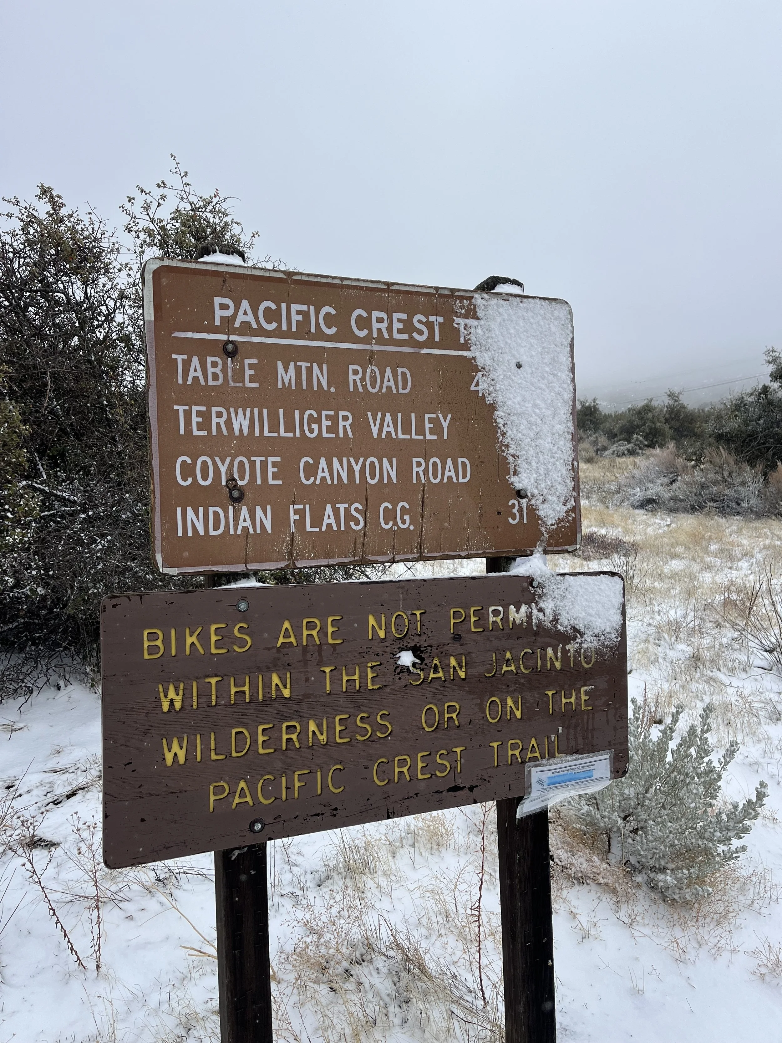
From Warner Springs there isn’t much in terms of trail towns, road crossings with traffic, and resupply opportunities until Mountain Center/Highway 74. The length is about 40 miles to get there. Mike’s place is along the way and has been applauded and categorized as creepy depending on who you speak to. I haven’t gone. Here’s a recent Trek article from a 2024 PCT Thru-Hiker, it definitely would keep you out of the elements in the case of an emergency.
Speaking of trail stops that along this wilderness section…Mary’s Hiker Oasis is sadly no more. Here’s that info from her when she closed it down in 2023! This was a great water cache and she is one of the most renowned trail angels the PCT has ever seen. Her place was burglarized by addicts living in the area and she felt unsafe to continue. Here’s a reddit thread of all the amazing trail magic she offered over the years, what a sweet lady!
As a result of Mary’s oasis closing this can be an incredibly tough water carry from Mike’s and Warner Springs.
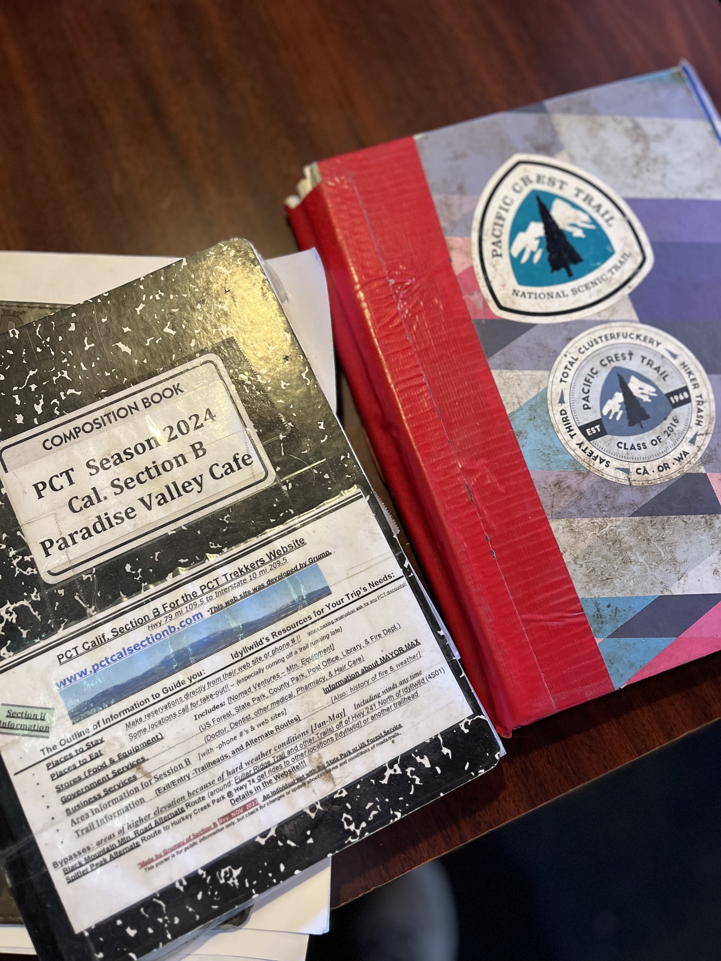
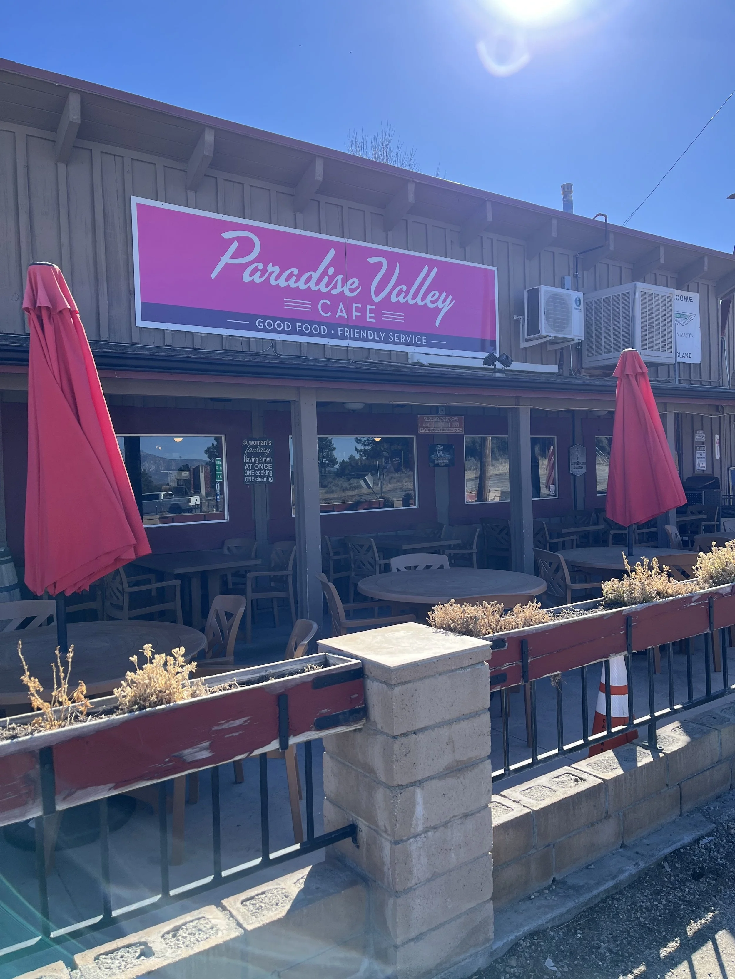
Paradise Valley Cafe is your next stop! Located just down the road on the left when you pop out on Highway 74 they accept resupply boxes (last time I was there they had DOZENS stacked up!) The food is okay, the burgers and desserts are what they do best. There are some strange and questionable signs up, they’re also super duper hiker friendly. (Multiple truths exists in life all the time.) Bruce Springsteen, Lindsay Lohan, Clint Eastwood, and many more have been there…signed photos on the walls.
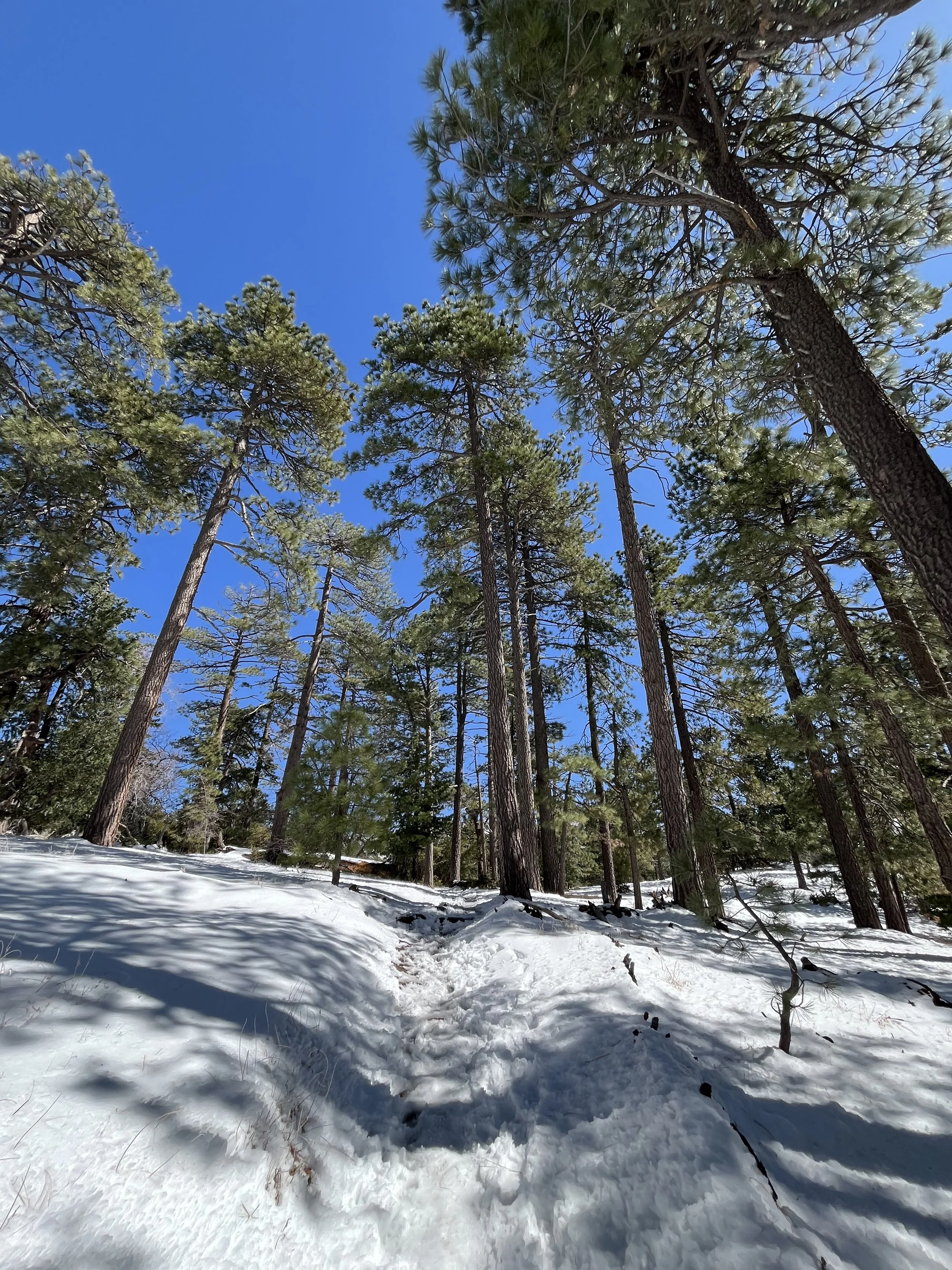
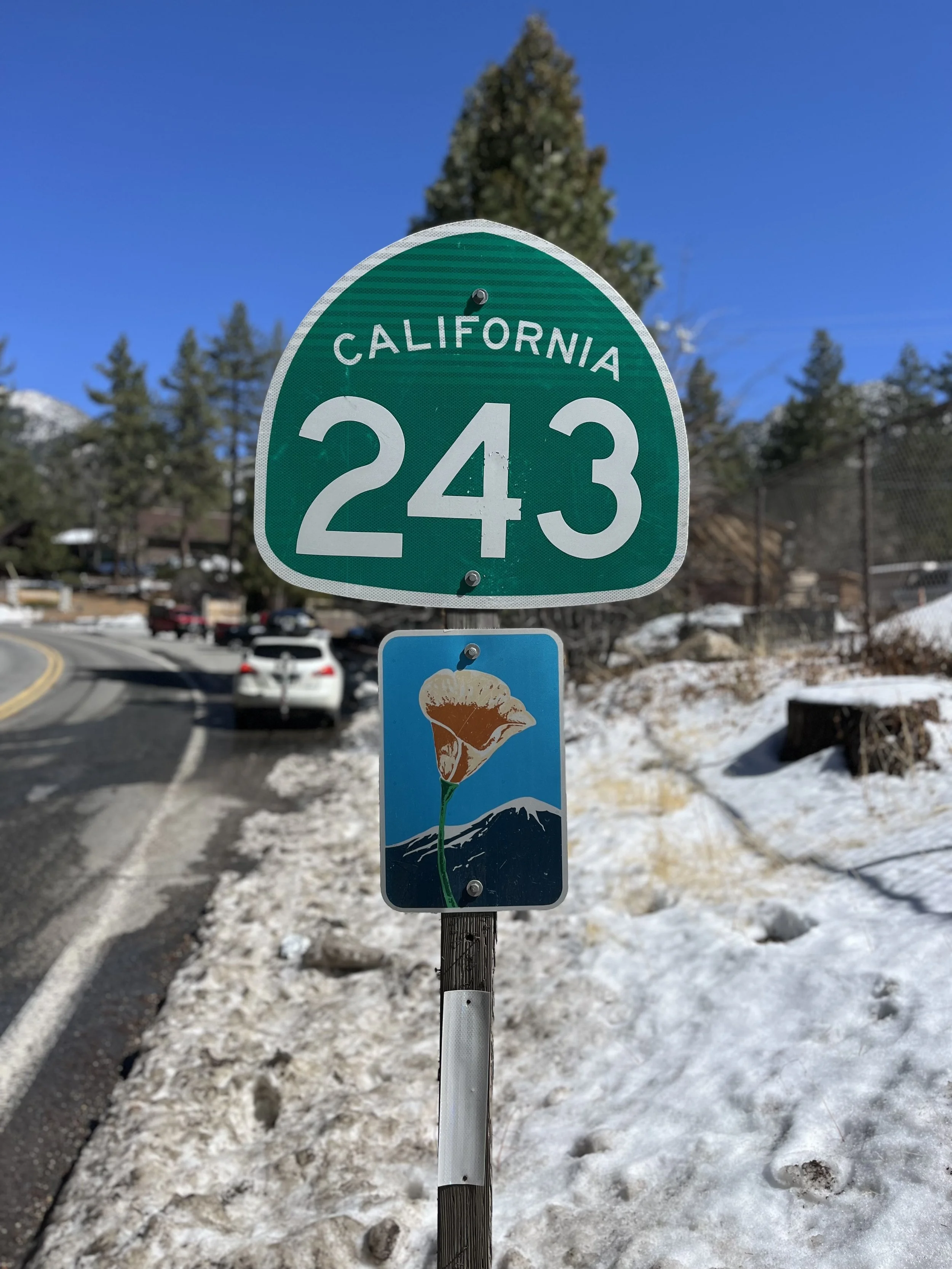
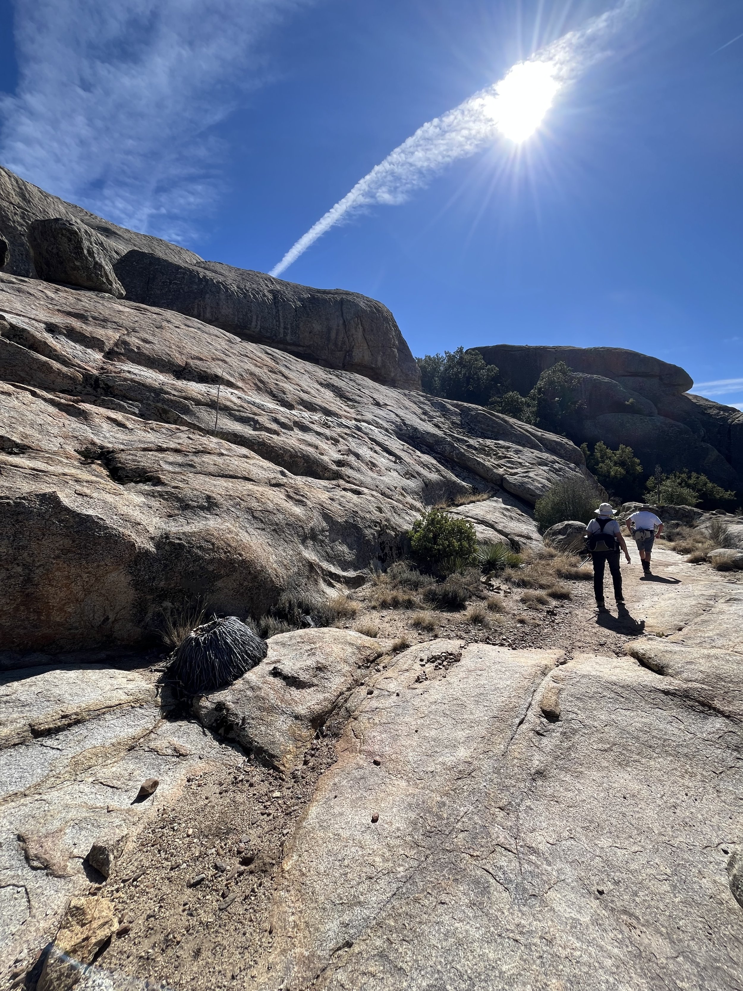
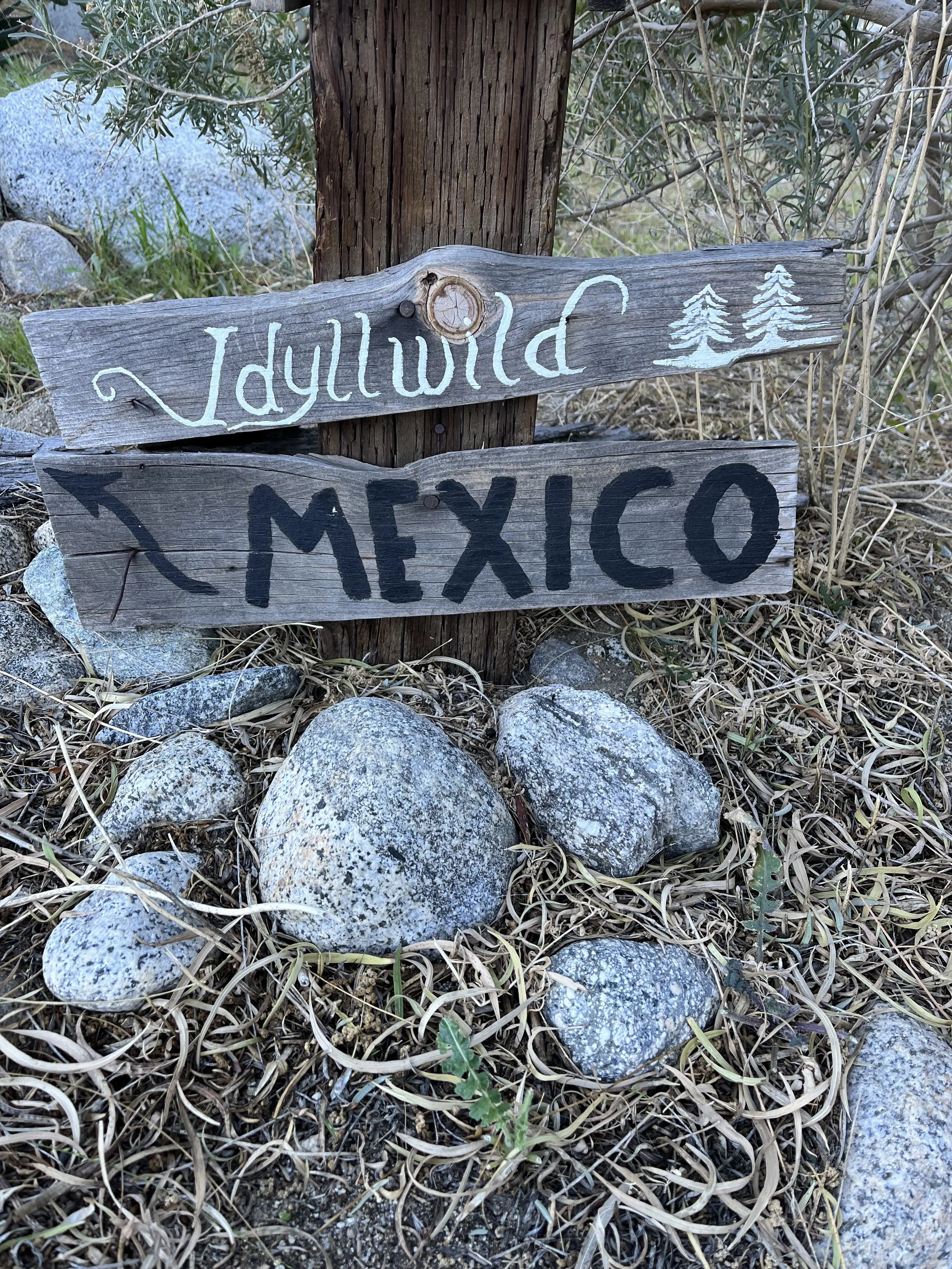
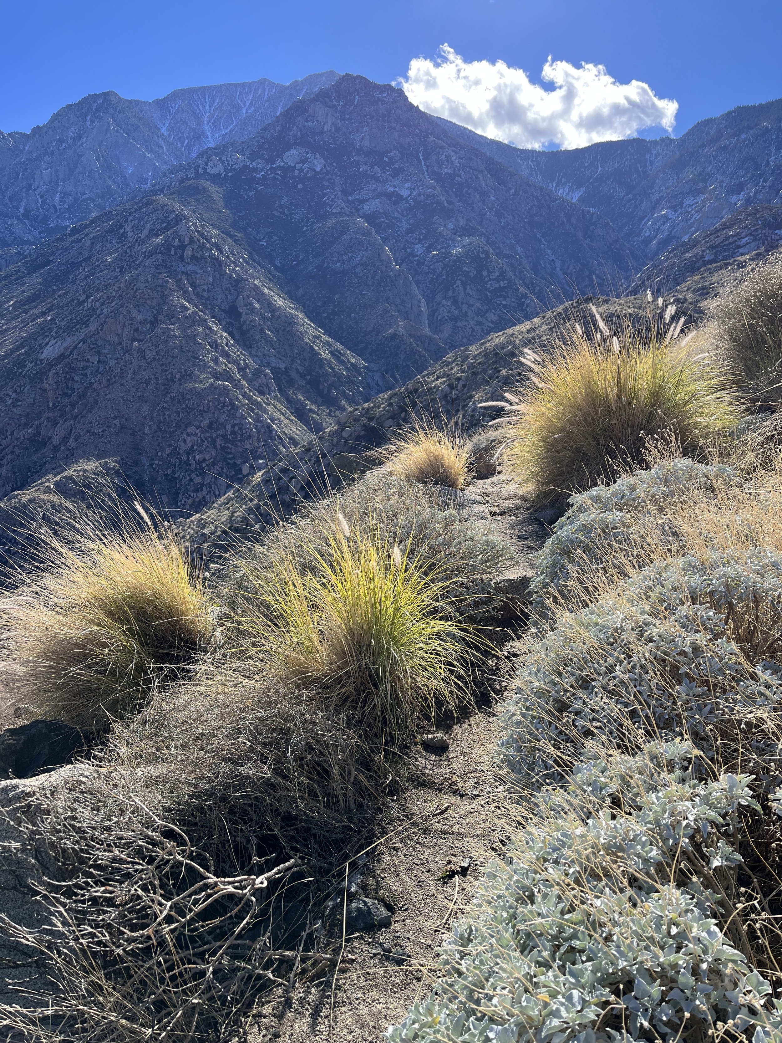
The San Jacinto and Santa Rosa mountains await you from there! If hiking with snow there’s a recommended reroute through the trail town of Idyllwild.
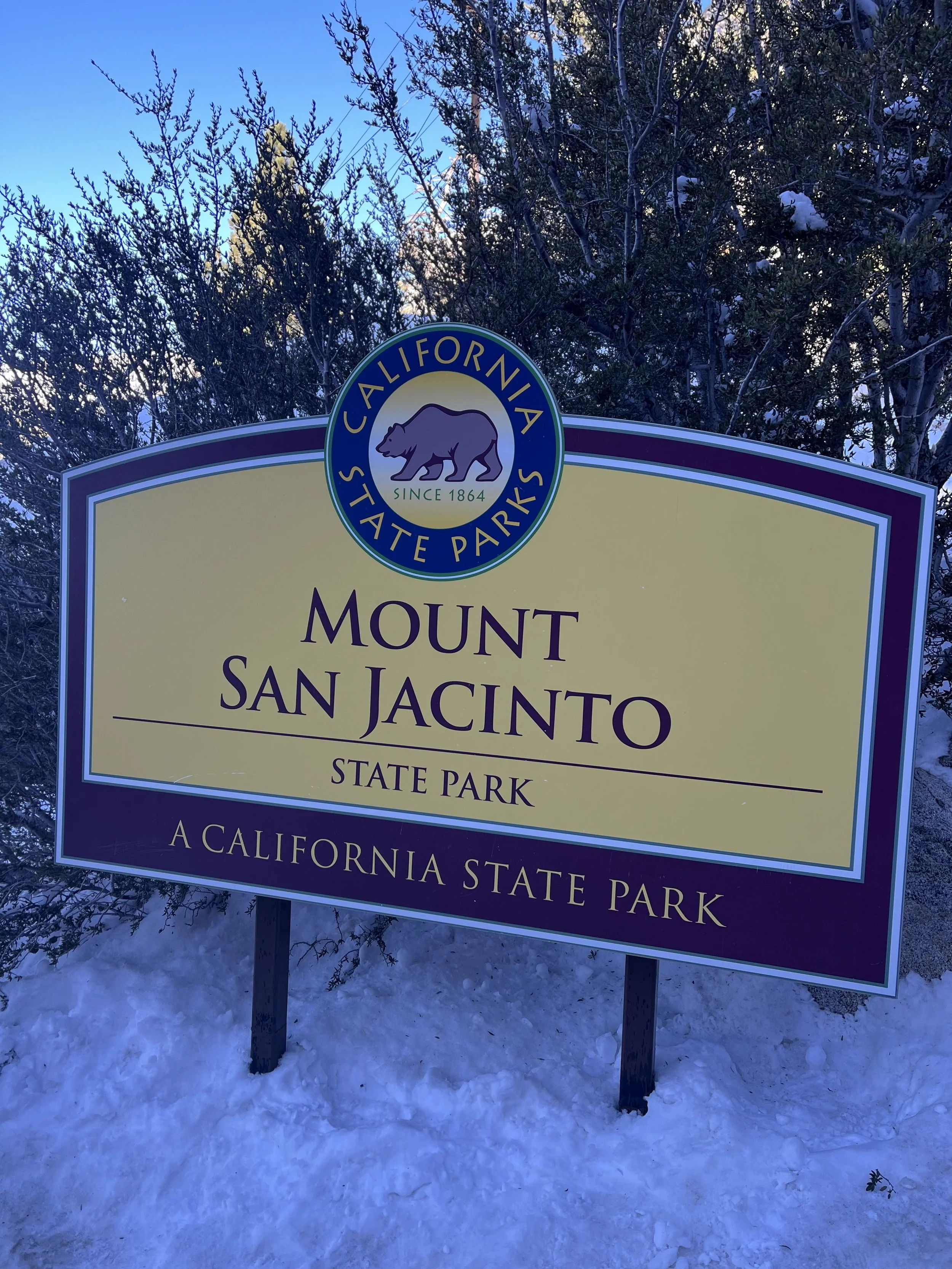
San Jacinto State Park requires permits and you can tack on a summit of San Jacinto if there late enough in the year or if you’re section/day hiking this area in the late spring to early fall!
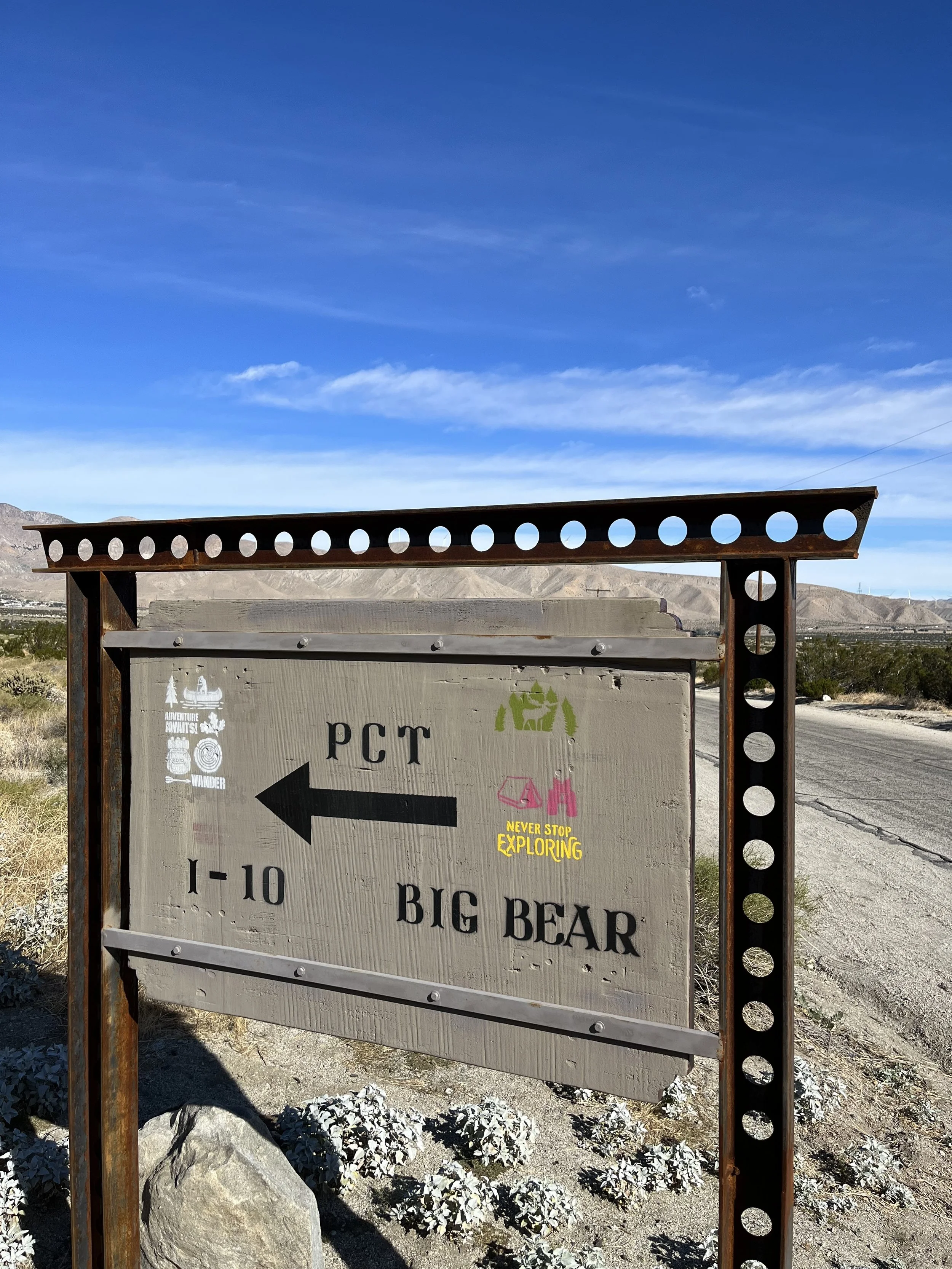
The sharp descent from San Jacinto spits you down 20 plus miles from 10,000 feet down to just a bit above sea level at 1,000 feet to the small community in Snow Creek. There’s a few cool PCT signs, water, and you’re off to Interstate 10!
WHAT GEAR DO I USE AND LIKE THE MOST ON MY PCT SECTION HIKES?
Hoka One Kaha’s and Hoka Two GTX’s are my trusted shoes.
I use my REI 40 Liter Backpack.
Darn Tough Vermont and Merino Wool Socks from REI and SmartWool are my go to’s.
Osprey Water Bladder and Lifestraw Collapsible Filter for hydration.
I wear New Balance or Nike running shorts and much prefer that to more typical hiking shorts.
The PCTA and PCT Water Reports in addition to the Half Mile Maps and Trail Notes are outstanding resources (and could save your life…!)
I carry a Garmin GPS and if I were to thru hike I would use the Farout (used to be Guthook) App as well.
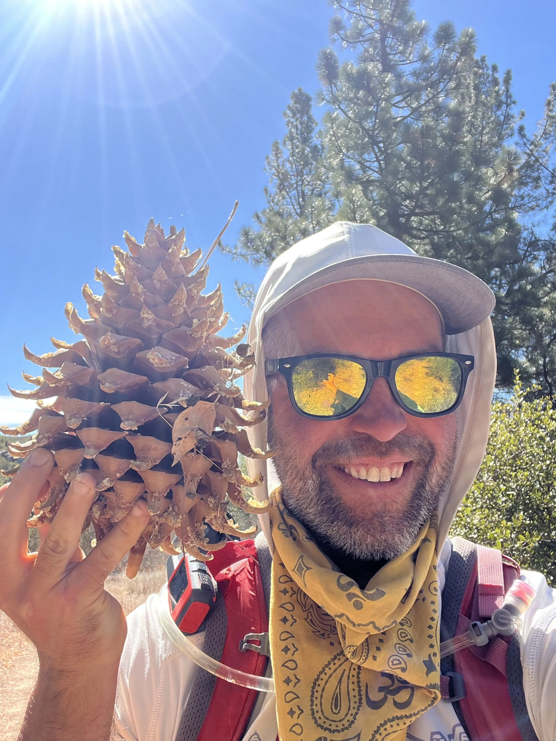
What else happened that was memorable during this section hike?
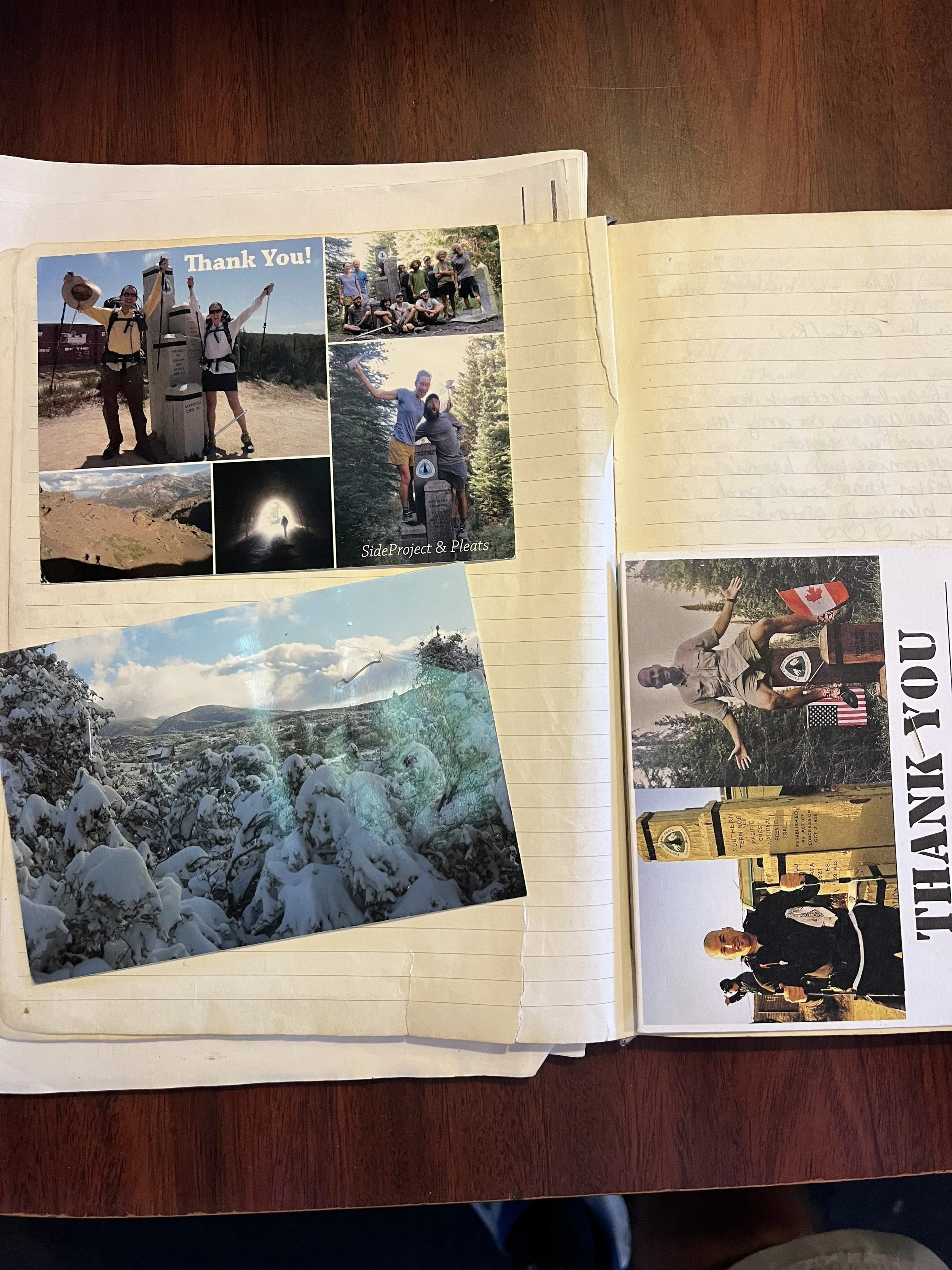
Warner Springs Community Center was my final stop on finishing the entire 375 mile section from the Southern Terminus to Wrightwood. To finish at this sweetie small town center catering to thru-hikers really felt nice and wholesome because it fully encapsulated the entire trail experience. (Thru-hikers, trail towns, trail magic, resupply stop, trail angels, etc.)
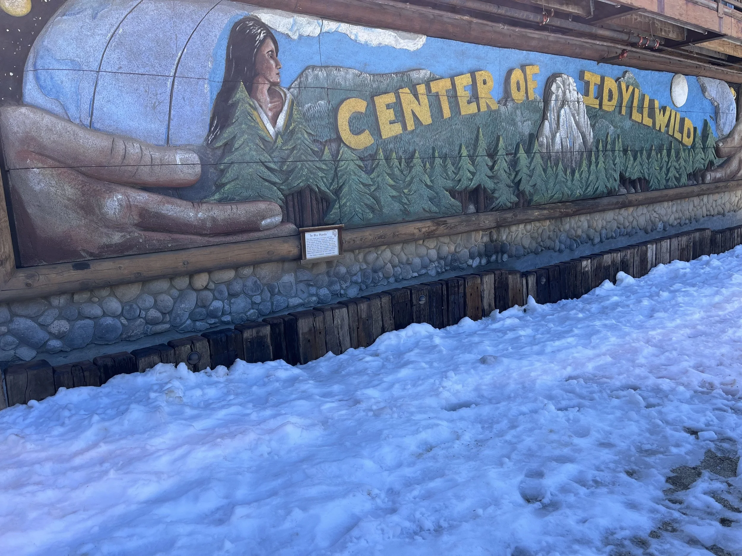
Going up to Idyllwilld was INCREDIBLE! It might be my favorite trail town on the AT, PCT, or the AZT (Hot Springs North Carolina, Patagonia Arizona, and Monson Maine are close.) Their mayor is a dog named Max and he’s a sweet lovie golden retriever.
And after Idyllwild comes San Jacinto State Park and a San Jacinto Peak summit. This was just one of the cooler trails I have ever done and love going up the big mountains of the SoCal region.
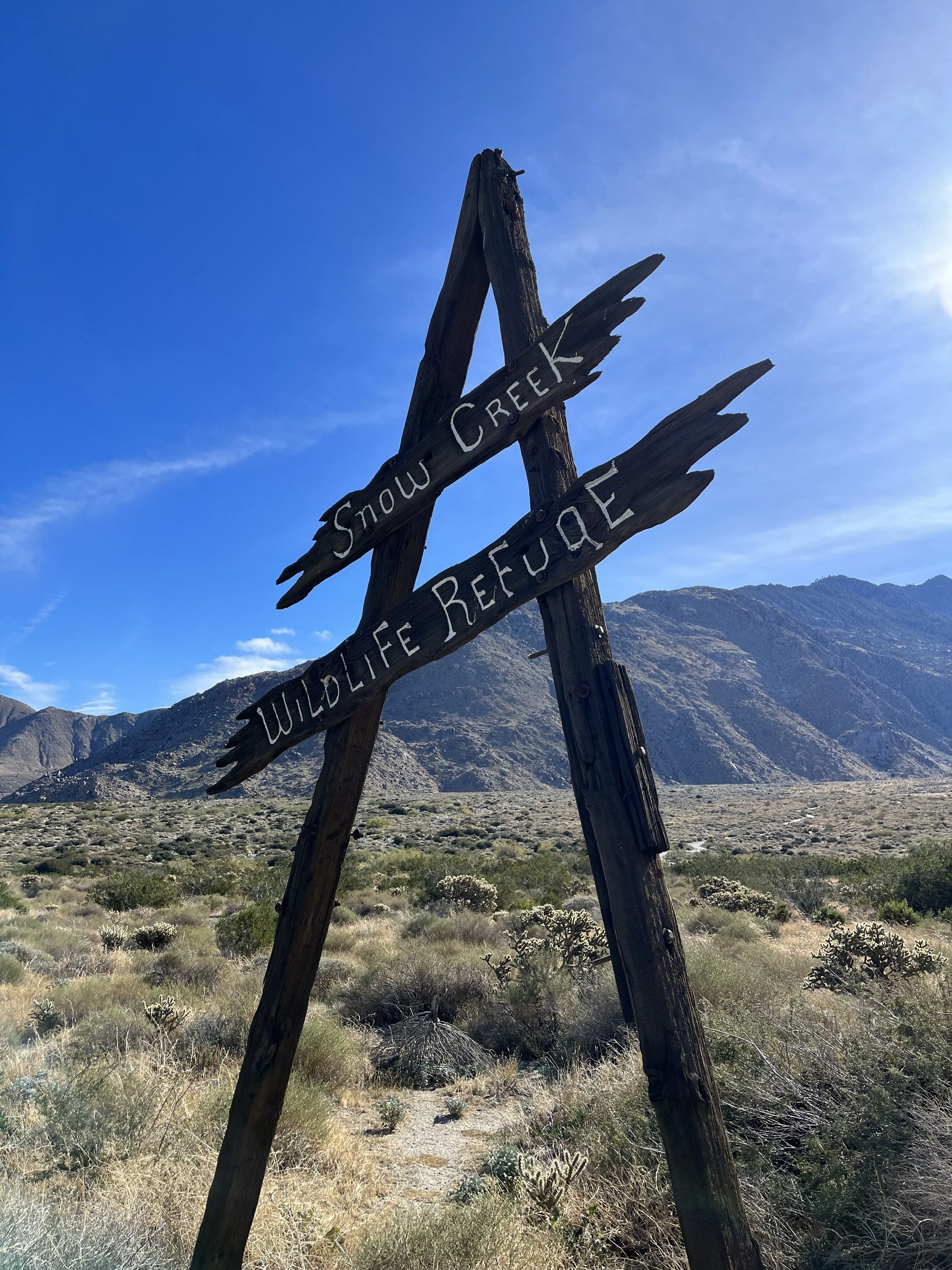
Snow Creek Canyon was my FIRST stop when I began this 375 mile section of the PCT on my LASH (Long Ass Section Hike) that resulted in over 2,800 miles and three years. I will never forget that windy Sunday morning in December of 2023 and then taking the last thru-hiker of the season up to Mission Creek as he finished a section he had to skip earlier in the year due to weather.
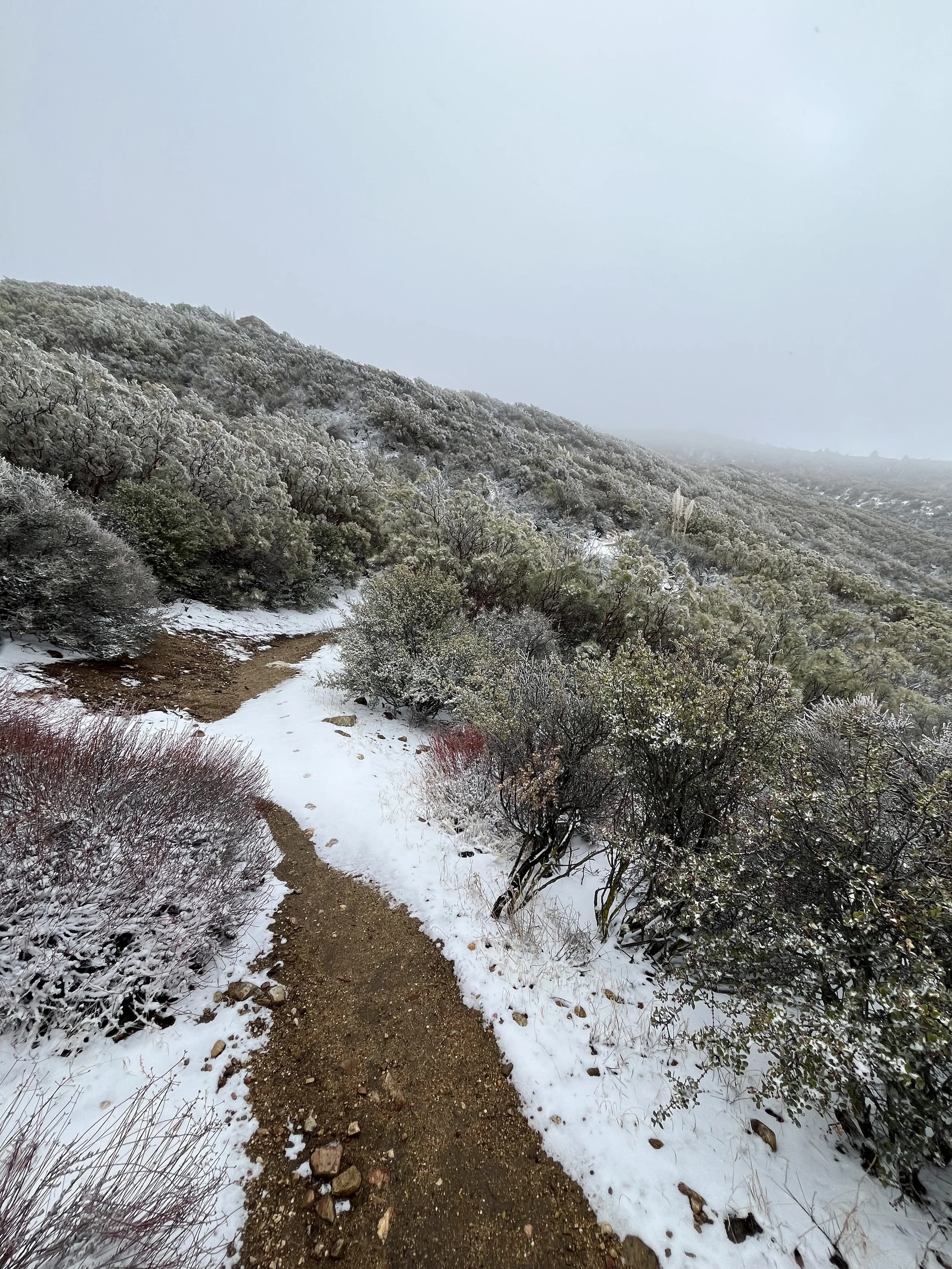
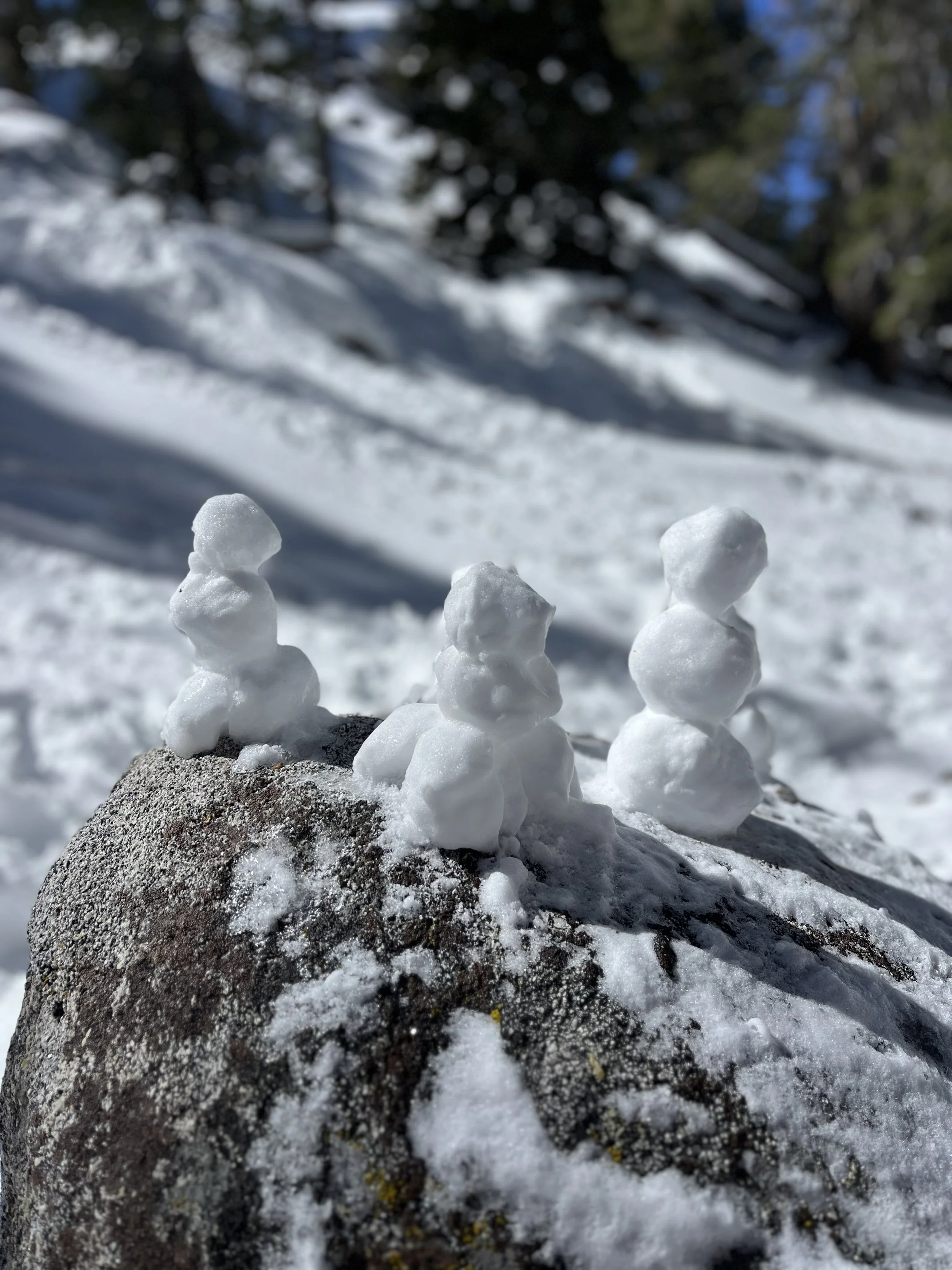
I almost got snowed in up at Mountain Center as I hiked miles 135-151. The snow kept coming and I just keep moving. But by the late afternoon I was sweating in Palm Desert LOL!
This section began in December 2023 and didn’t end until May of 2026! Two of the hikes were my FIRST and my LAST hikes on the entire 375 mile section I did on the Pacific Crest Trail during this time. In between I also got to everywhere in between which included the best trail town on the PCT, my favorite SoCal Mountain (San Jacinto), and a lot of chapparal hiking in between. I was the first person to sign the PCT logbook at Paradise Valley Cafe in 2025 and was one of the last people to come hiking through Warner Springs in 2026 before summer set in. I marvel and cherish all the beautiful memories I have from this section and as it’s closest to my home in Yucca Valley will be the section I hike the most the rest of my life!
When I think of the Pacific Crest Trail and its long carries without water I think of this section. When I think of iconic trail angels I think of this section. When I think of the best mountains the whole PCT has to offer I think of this section. When I think of the coolest trail towns around I think of this section. It’s special, I have nothing more to say than I adore it.
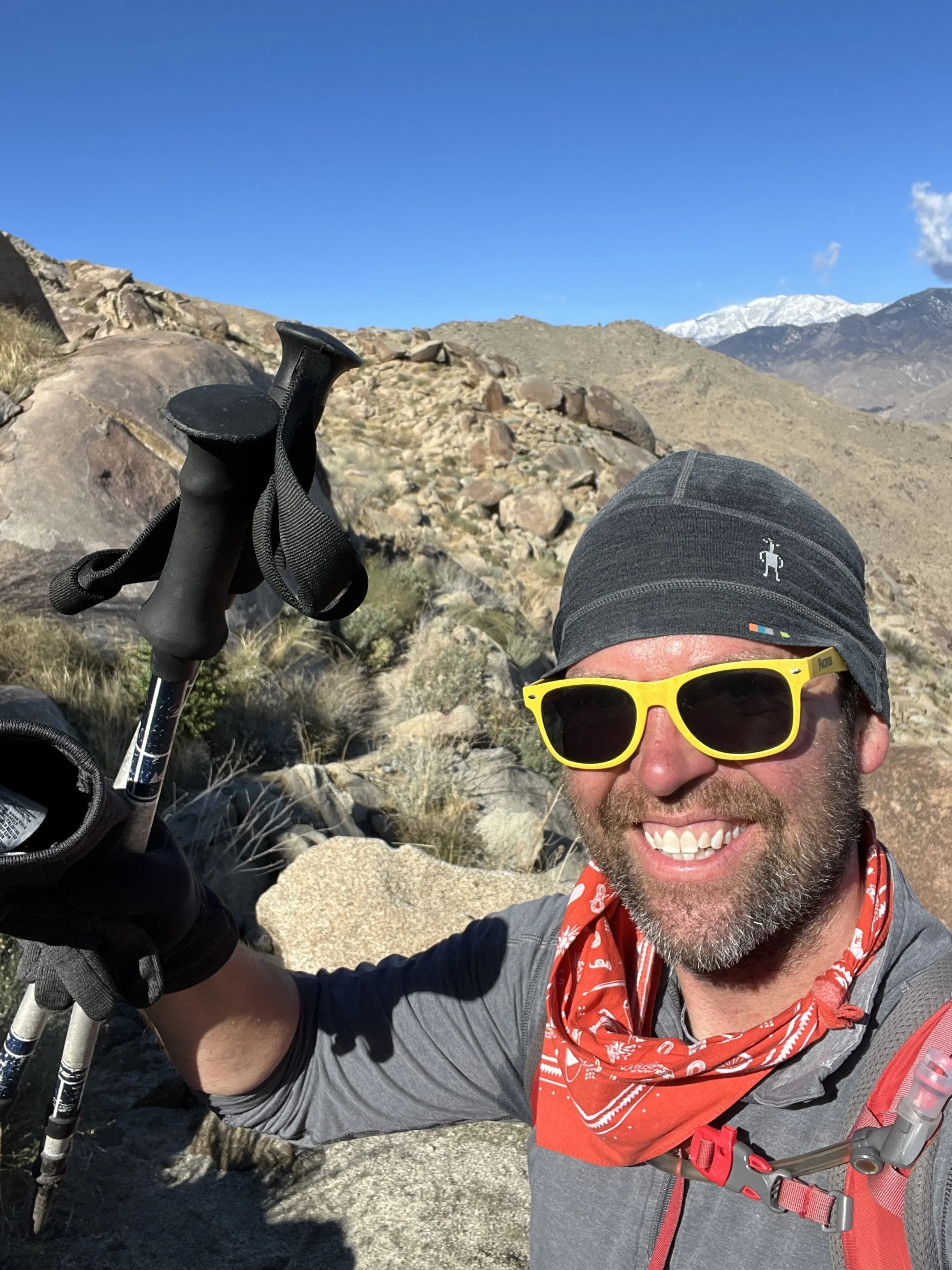
This 97 mile stretch was done in six long day hikes with some out and back miles on top of it at times, plus a trip up to the summit of San Jacinto Peak (which is technically not on the PCT). Have fun, prepare, and welcome to the San Jacinto and Santa Rosa Mountains section.
Thanks for reading and happy trails to you! Whether you are planning a thru, section, or day hike…or are a trail town local, trail angel, or just someone wanting to learn more about the Pacific Crest Trail…I hope the PCT gives you what you need! Don’t forget to Leave No Trace and pack your 10 Essentials!
Comment below with questions or your experience on hiking the PCT in the SoCal or specifically this section from Warner Springs to Snow Creek Canyon.
Because Adventure Feeds the Soul,
Mike R